
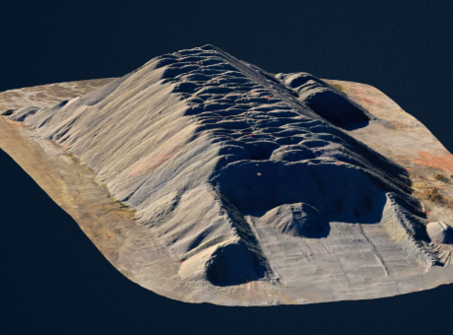
Comprehensive data collected through UAVs for informed decision-making
>9054665
Sky-high brave technology


WHY CHOOSE US?
-
85%
of drone components are self-manufactured
-
9+
years of UAV development and aerial monitoring experience
-
150+
team members
UAVs enable fast and efficient business solutions across various industries
\9845769-57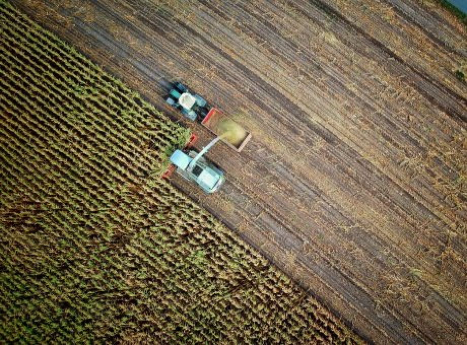


PRESS ABOUT US
ITC.ua
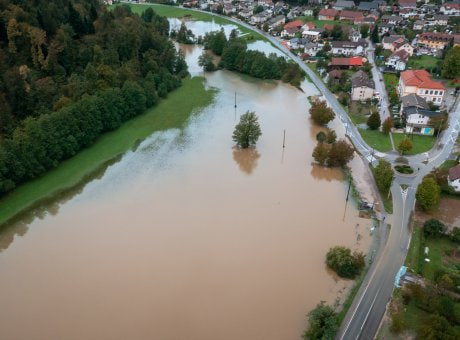
Increasing harvests, assessing the consequences of destruction and more - how SKIF drones help Ukrainian business
Read MoreToday, clients from various fields and industries can order aerial monitoring services and obtain complete and comprehensive data about the earth's surface using unmanned aerial vehicles and other aerial systems. Unmanned aircraft systems, or UAS, have long been a part of our daily lives.
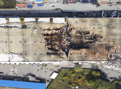
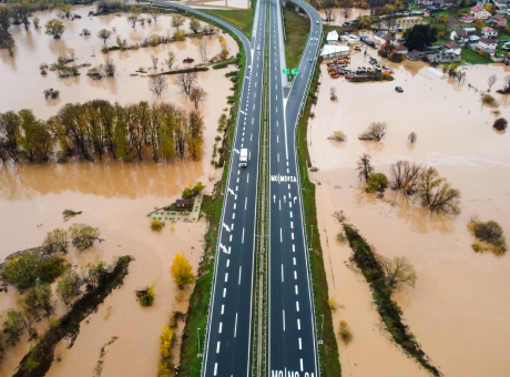
The operation of unmanned aerial systems allows us to obtain accurate data about objects, assess the effects of natural and man-made disasters, determine the condition of crops, develop plans for search and rescue operations, and even deliver goods with their help. Drone companies are actively developing new, more advanced models, and the global UAV market is growing at a conservative estimate of nearly 14% annually.
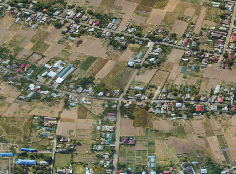
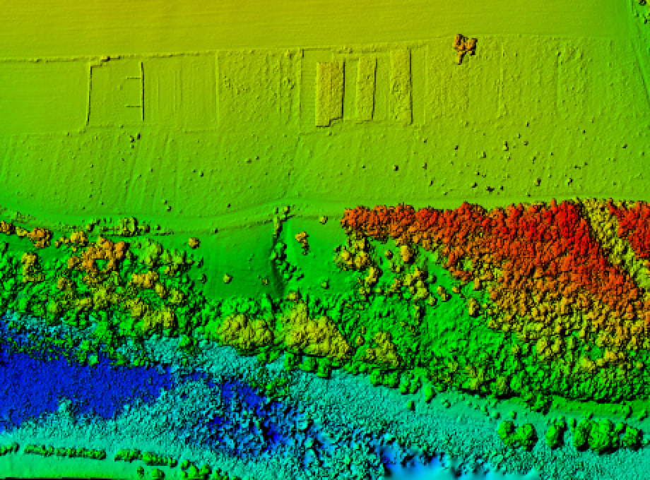
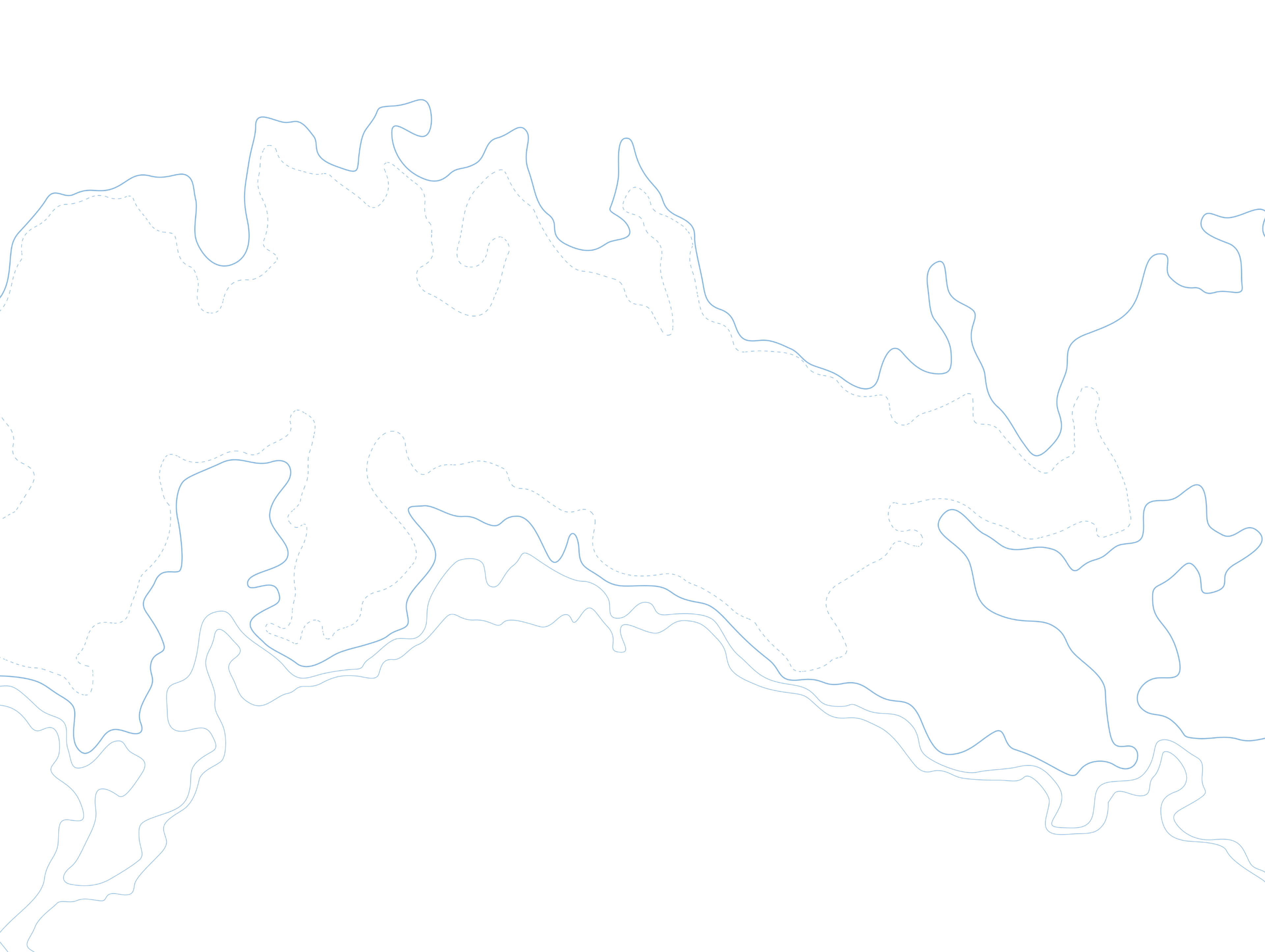
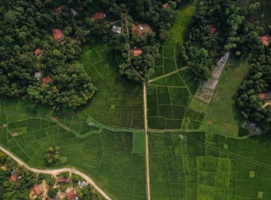
Today, there are almost no industries that do not use UAVs in their work. Unmanned aerial vehicles have long proved to be an effective tool for agriculture and forestry, mining, civil protection of the population and territories from emergencies, etc. Equipped with modern cameras, scanners, and GPS navigators, drones collect data that becomes the basis for creating digital maps, orthophotomaps, digital terrain models, etc. Optionally, the UAV can be equipped with a video or multispectral camera, thermal imaging sensor, etc.
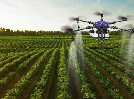
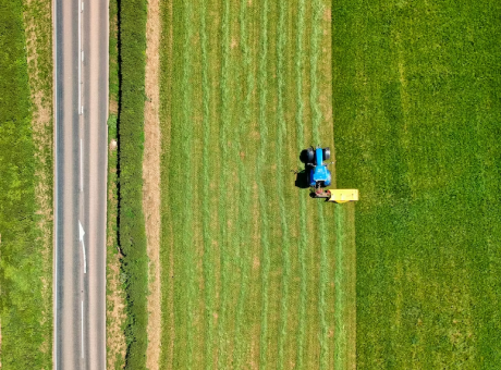
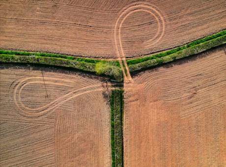
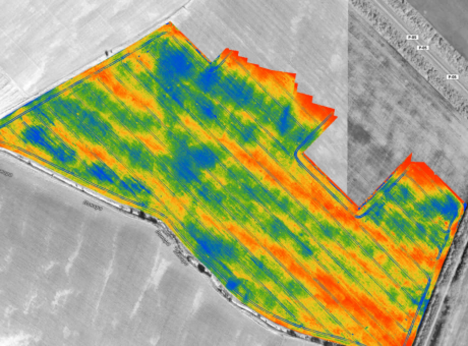
Targeted drones allow you to quickly and efficiently collect information to make informed and informed management decisions based on their analysis. For example, in the agricultural sector, aviation systems help to optimize the operation of agricultural machinery and respond to the needs of plants in time to increase yields. In the railroad industry, drones improve safety and reduce operating costs.
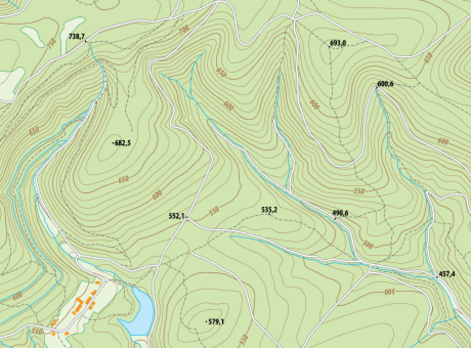
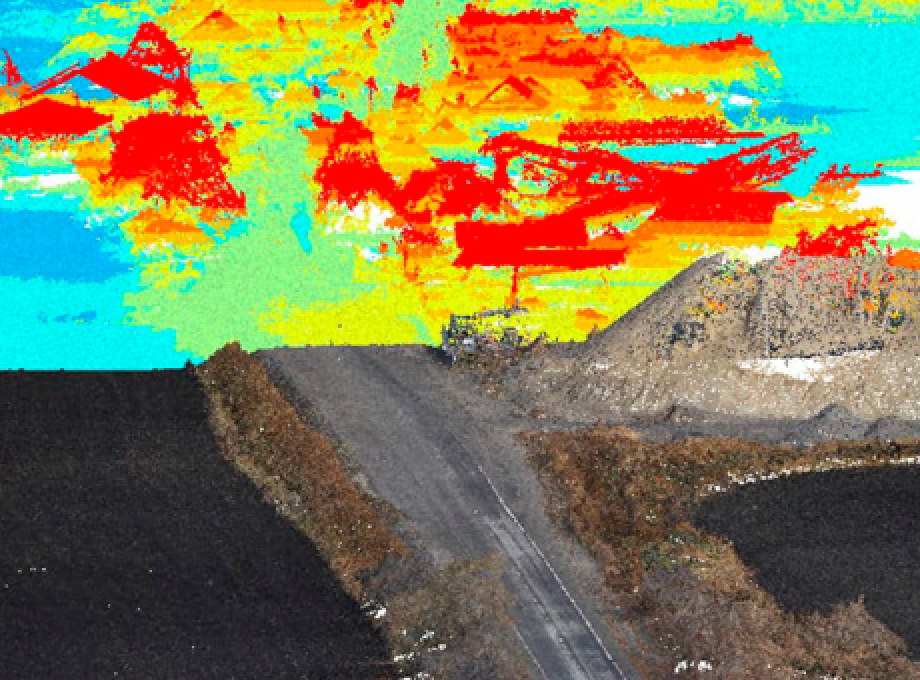
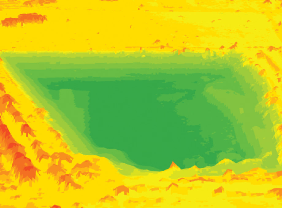
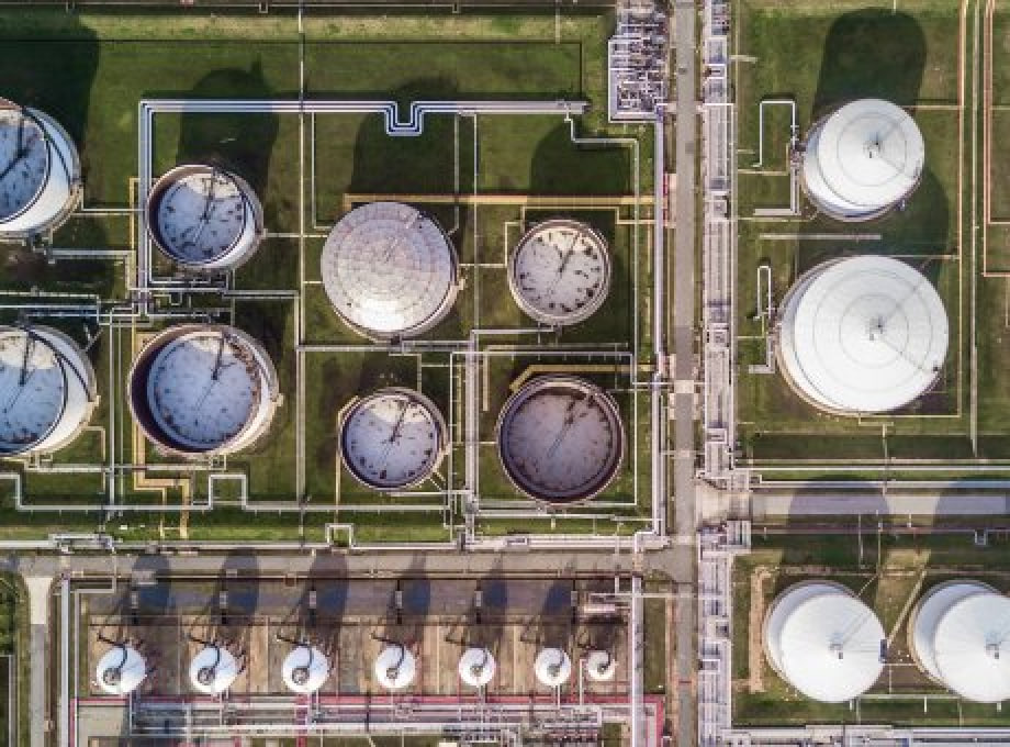
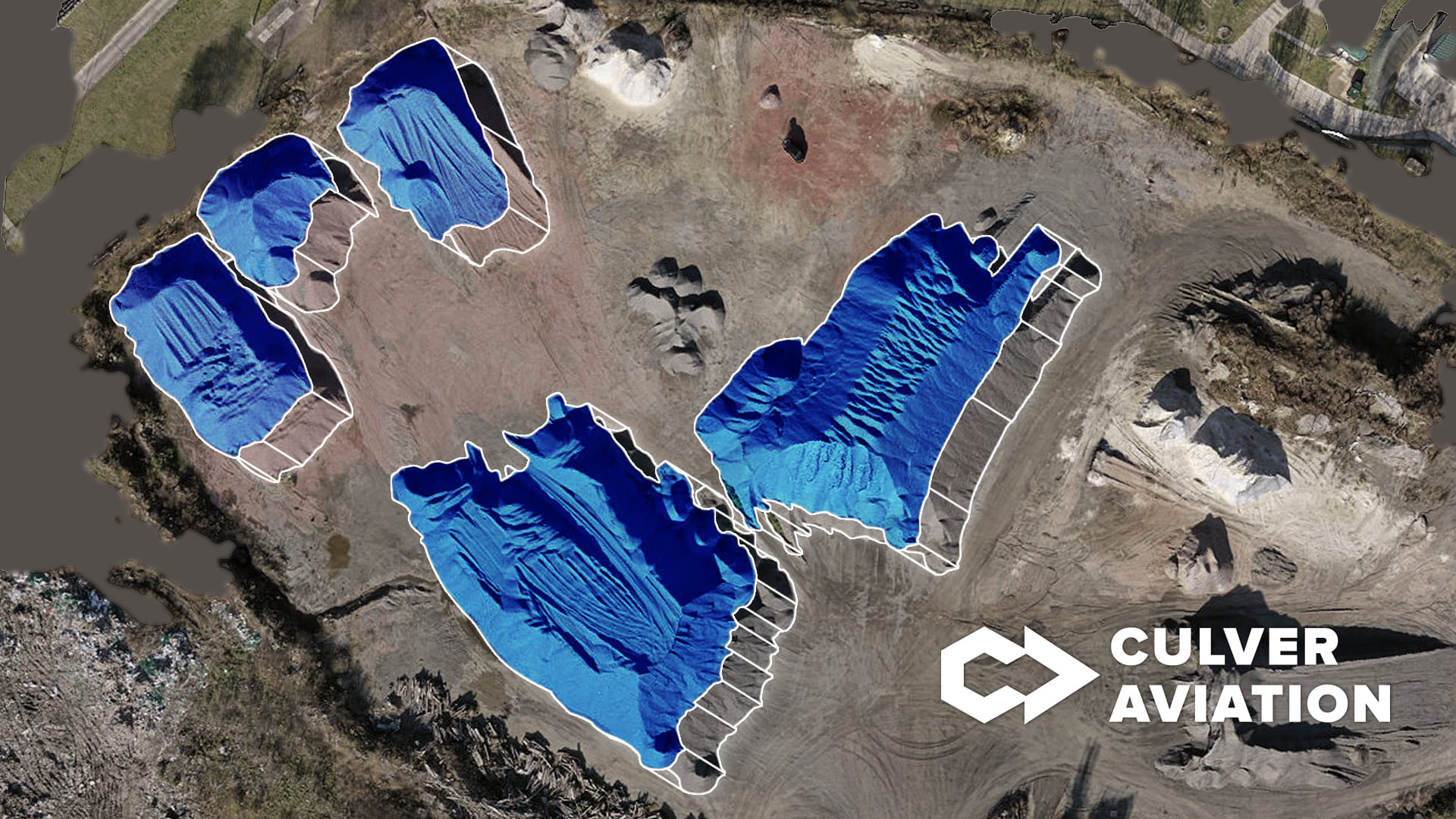
Drones are also actively used in geodesy and topography. Aerial photography using UAVs allows to obtain accurate and reliable photographic materials and take pictures even in hard-to-reach and dangerous places. Unmanned aerial systems are also gaining popularity in mining companies, where they are used for measuring and estimating the volume of extracted rock.
Drones are also used by power engineers, builders, road and utility companies. They are used to monitor energy and heating networks, design communications and buildings, examine the condition of roadways and infrastructure, plan repairs, and more. Culver Aerospace is a Ukrainian technology company that develops unmanned systems and manufactures them.
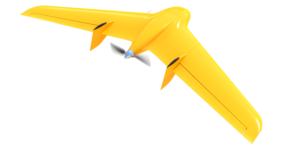
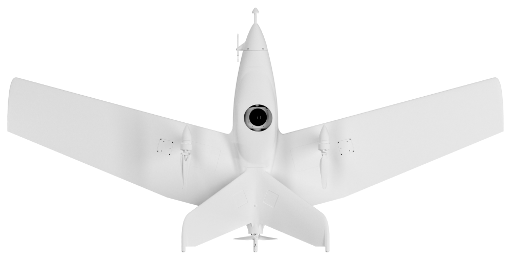
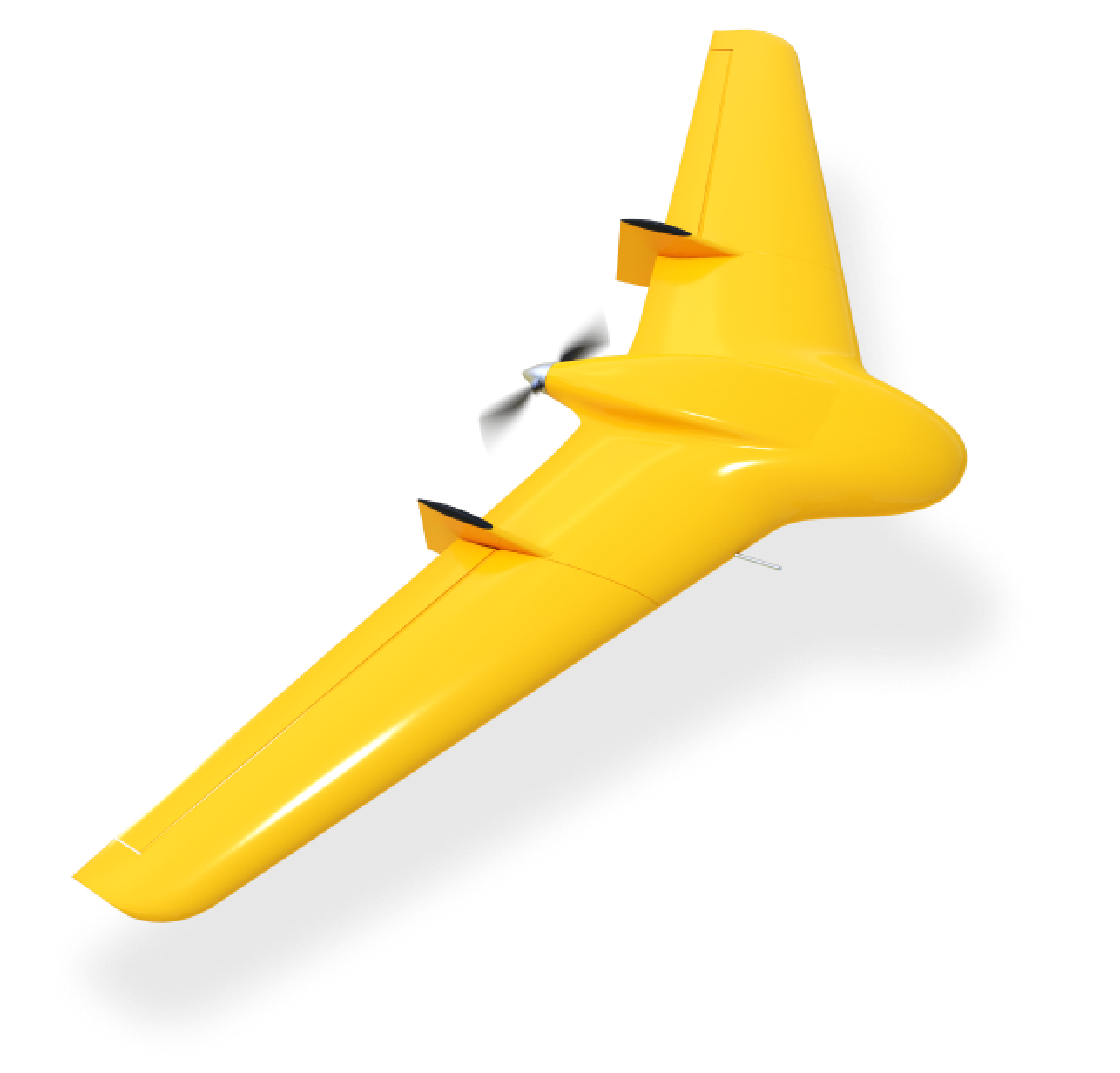
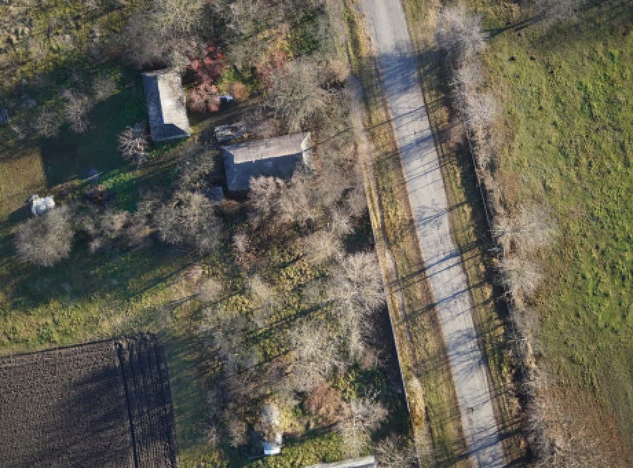
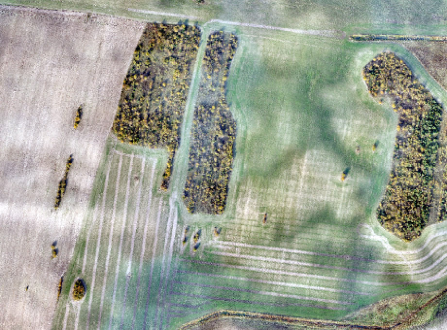
We use our commercial drones to provide a full range of aerial photography and monitoring services, from data collection to digitization and analysis. One of the company's main activities is designing and engineering UAVs. To realize these goals, Culver Aerospace has its R&D department. To monitor the earth's surface, Culver Aerospace uses the Skif UAV with a 61-megapixel camera, which can cover an area of up to 1500 hectares in one flight, and to study high-altitude objects, it uses multi-rotor systems of its design and construction. Our professional unmanned aerial solutions make a quick overflight of the territory, after which a team of GIS specialists transforms the data into orthophotomaps of high accuracy and quality.
The company's new invention, the Menatir automated aerial monitoring system, deserves special attention. It is a network of base stations in the form of containers with unmanned aerial vehicles inside. It allows for continuous autonomous monitoring of the earth's surface and objects located on it. The variability of the system's payload allows it to be used for a wide range of tasks for both business and government services.
The UAV flight control system, thanks to Culver Aerospace's own engineering solutions and software with artificial intelligence elements, allows the aircraft to be launched automatically remotely at the operator's command or by pre-programmed tasks. Our own UAV fleet, a team of experienced pilots, and GIS specialists allow us to assemble optimal drone packages tailored to the specifics of the work, quickly collect and process data, and promptly provide our customers with high-quality results to create the best user experience.