Modern UAVs have proven in practice to be an extremely effective and flexible tool for crop care from the air. Recently, farmers have been increasingly using them not only to collect information about the condition of crops and problem areas in the fields, but also to effectively and economically control crop pests, in particular by dispersing trichogramma. Here's why it's advisable to disperse trichogramma using UAVs.
Every year, the number of people living in cities is increasing. The World Bank predicts that by 2050, 70% of the population will live in megacities.
The rapid growth of the urban population in the near future will exacerbate the challenges that cities already face today, such as pollution and environmental degradation, congestion and difficulties in public transport, excessive energy consumption, spontaneous construction, etc.
In search of a comprehensive solution to these challenges, more and more cities are adopting the concept of sustainable development, which involves the rational use of natural resources and a balance between economic development and society's social and environmental interests.
Making cities and human settlements open, safe, resilient, and sustainable is one of the 17 goals set by the United Nations as part of the Sustainable Development Goals, which aim to sustainably improve the quality of life and create a favorable environment for future generations. Read more about the role of UAVs in realizing the concept of sustainable and smart cities in our next article.
Principles of sustainable cities
The key tasks for businesses and government in the transition to sustainable urban development are to implement a set of measures for strategic planning of urban development, use green technologies, ensure environmental balance and safe living conditions for the population, address housing issues, etc. The implementation of these measures imposes new requirements for land management and construction, business activities, and the use of urban infrastructure.
To create an environment that is environmentally responsible, socially inclusive, and economically viable, sustainable urban development should be based on the following principles:
1. Minimize the negative impact on the environment
In sustainable cities, priority is given to green technologies, renewable energy, and sustainable transport, which should ensure social and economic connectivity while minimizing negative impacts on the climate and the environment.
2. Using technology to improve the quality of life of residents
Smart cities increase efficiency and reduce costs through the use of various sensors to monitor and manage energy consumption, traffic flows, and waste management, as well as the deployment of a system of interconnected power grids, buildings, etc.
3. Accessibility, diversity, and social justice
Sustainable and smart cities should be inclusive and accessible to all residents, regardless of their income, age, or ability.
4. Cooperation and equal access to information
Implementing the concept of a sustainable city involves the involvement of representatives of all groups of its residents in decision-making. Cooperation between the government, business, and community groups ensures the success of projects and the adoption of effective and fair decisions.
Thus, an important component of the smart city concept is the introduction of innovations and modern technological solutions to solve urban problems, optimize processes, and allocate resources efficiently. Digital tools play a key role in this process, allowing the collection of large amounts of data and, based on their analysis, managing urban infrastructure more efficiently, increasing energy efficiency, enhancing public safety, and creating new economic opportunities.
For example, data collected by UAVs can be useful for solving the following tasks:
- Urban planning and optimization of urban services
Drones are used to obtain information about the terrain, objects located on it, traffic patterns, city infrastructure, etc. This data is used to plan development, identify areas that need reconstruction or repair, create maps and 3D models, and make decisions on the development of transport and urban infrastructure.
- Traffic management
UAVs can be used to monitor traffic flows and detect traffic jams in real-time. This data will allow city authorities to optimize traffic lights, optimize traffic patterns, reduce congestion, and improve overall traffic management.
- Infrastructure inspection
Drones can inspect infrastructure, such as bridges, roads, and buildings, identify defects, and create orthophoto plans and 3D models with maximum detail based on the data obtained. This helps to identify potential maintenance issues promptly and make decisions on further repair and restoration work.
- Environmental monitoring
UAVs equipped with special sensors can monitor the environment, including the quality of air, water, urban heat islands, noise levels, etc. The information obtained becomes the basis for identifying problem areas, making decisions on environmental policy, and developing and improving infrastructure projects.
- Ensuring public safety and controlling the use of public space
The data obtained from drones can be used to monitor public spaces for potential security threats, maintain social distancing, and detect unauthorized gatherings. UAVs can be used to control the use of public space, such as detecting unauthorized construction, illegal dumping, timely identification of potential threats, etc.
- Responding to emergencies
UAVs allow you to quickly and safely assess the consequences of emergencies, such as flooding, fires, road accidents, etc. Equipped with thermal imagers, they can also be used in search and rescue operations and identify fire risk areas.
The information obtained from drones is becoming a valuable source for smart city planning and management and for creating a more efficient and livable urban environment.
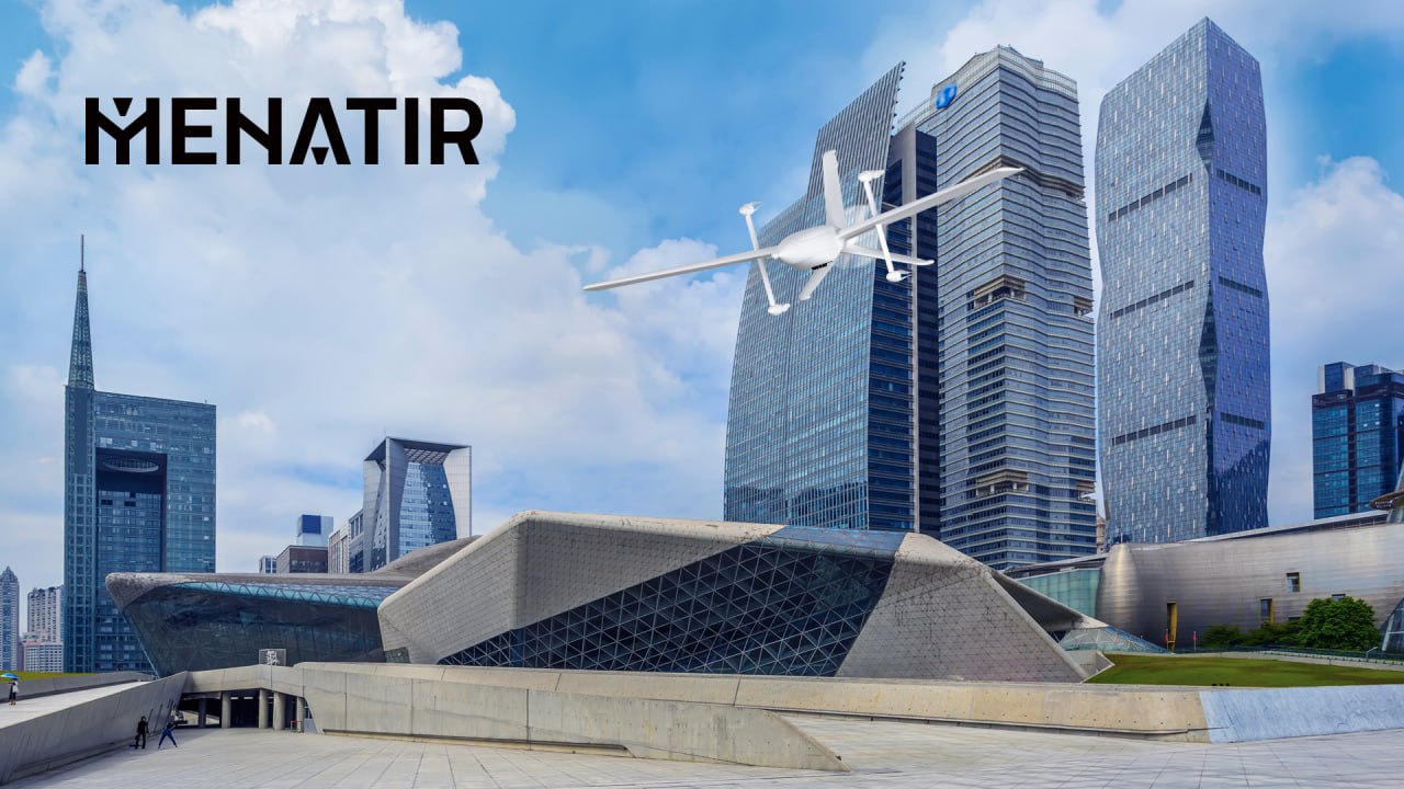
Menatir – "digital" territory care
In addition to direct territory monitoring and facility inspection, UAVs are also a valuable source of Big Data, which plays a crucial role in the realization of the concept of sustainable cities. Collecting, analyzing, and interpreting large amounts of data from various sources gives city authorities insight into the patterns and trends that underlie sustainable urban development and is a prerequisite for their development.
Combining the capabilities of unmanned aerial vehicles with Industry 4.0 technologies such as IoT (Internet of Things) and AI (Artificial Intelligence) allows not only to improve the technical characteristics of drones and the efficiency of their management but also to ensure complex interaction between aircraft to perform tasks with their help and create an effective decision support system.
One example of the integration of digital solutions is the Menatir UAV networked air monitoring system developed by Culver Aviation.

