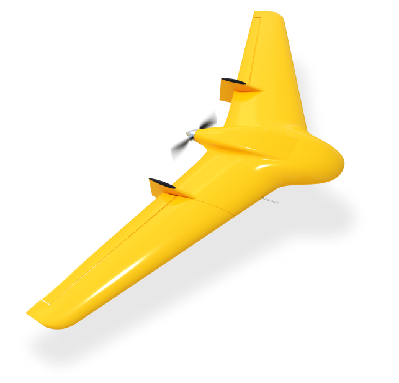
Skif UAV

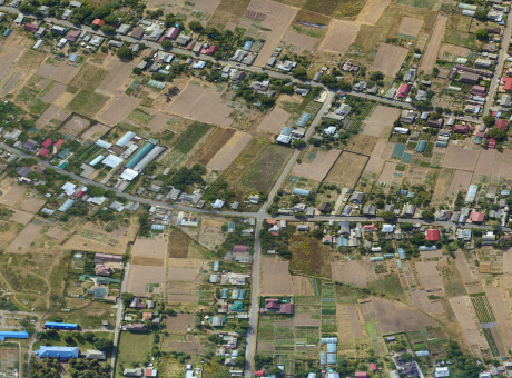
Designed for aerial photography, mapping, field contour measurement, and area calculation. The RTK/PPK GNSS system provides accuracy up to 1 cm and a resolution of 1 cm/pixel.
Designed for aerial photography, mapping, field contour measurement, and area calculation. The RTK/PPK GNSS system provides accuracy up to 1 cm and a resolution of 1 cm/pixel.
[ 01 ]\
[ 02 ]\
[ 03 ]\
[ 04 ]\
[ 05 ]\
[ 06 ]\
\9845769-57
Onboard geodetic receiver with real-time kinematic (RTK) and post-processing kinematic (PPK) technology of the global navigation satellite system (GNSS), providing results with accuracy up to 1 cm and a refresh rate of 20 Hz, GPS (L1/L2) + GLONASS (L1/L2) + BEIDOU (B1/B2)
\9845769-57
Lens: 35 mm
Number of megapixels: 61MP
Image resolution: up to 1 cm per pixel
Continuous shooting: 30 FPS
Maximum image size: up to 9540 x 6336 pixels
\9845769-57
Fully automated flight from takeoff to parachute landing
\9845769-57
Automatic launch using a catapult within 10 minutes. Automatic parachute landing.