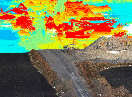
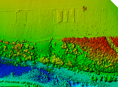
Aerial photography of destruction
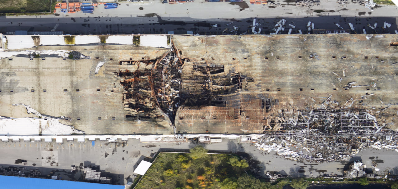
Aerial imaging of affected settlements and damaged objects using UAVs
Aviation monitoring allows for gathering information about the extent of destruction to confirm the facts of devastation and analyze and assess the incurred damage
\9845769-57
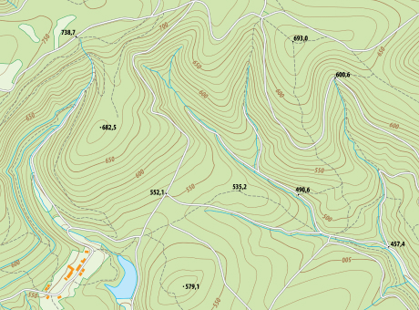
Assessing the extent of destruction and damage using drones provides a quick way to obtain comprehensive and objective digital data for documentation, determining the scale of damage, and creating orthophotoplans based on them to confirm the facts of destruction.
[ 01 ]\
[ 02 ]\
[ 03 ]\
[ 04 ]\
[ 05 ]\
THE TECHNOLOGY WE USE TO ACCOMPLISH THIS
For data collection, we use our own developed UAV "Skif," which is a fixed-wing type drone. In one shift, one aircraft can cover an area of up to 1,000 hectares, and its modern navigation system and 61 MP camera allow for capturing images with a resolution of up to 1 cm per pixel.
Learn more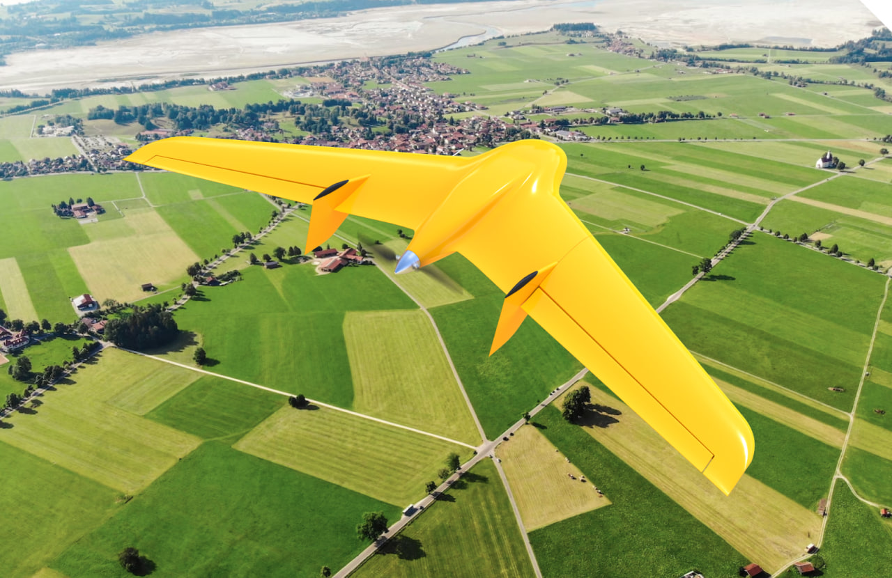
\9845769-57
We provide services as DaaS - Drone-as-a-Service. This allows you to avoid purchasing aviation equipment that is not specialized for your needs. Instead, you can simply enter into a contract for aerial monitoring and receive the finalized data within a few days.
This working format increases the speed and quality of monitoring, as well as enables large-scale research on any size of area within a short timeframe.
\9845769-57
WE CAN HELP YOU CONDUCT AERIAL IMAGING OF DAMAGED OBJECTS TO DEVELOP TRANSPARENT AND WELL-FOUNDED FINANCING AND RECOVERY PLANS.
Creating a database of evidence to obtain reparations and compensation from the aggressor country
Attracting investments and obtaining international financial assistance for the restoration of affected infrastructure
Developing funding plans for the reconstruction of settlements and territories
Creating roadmaps for recovery

PROCESS OF WORK EXECUTION
-
[ 1 - 4 ]
Obtaining and processing input data
-
[ 2 - 4 ]
Surveying the area using UAVs
-
[ 3 - 4 ]
Processing the collected data
-
[ 4 - 4 ]
Providing the client with the results in the specified format
WHY CHOOSE CULVER AEROSPACE AS YOUR BUSINESS PARTNER?
[ 01 ]\
[ 02 ]\
[ 03 ]\
[ 04 ]\
[ 05 ]\
[ 06 ]\
[ 07 ]\