Point cloud
Digital copy of all visible surfaces of an object
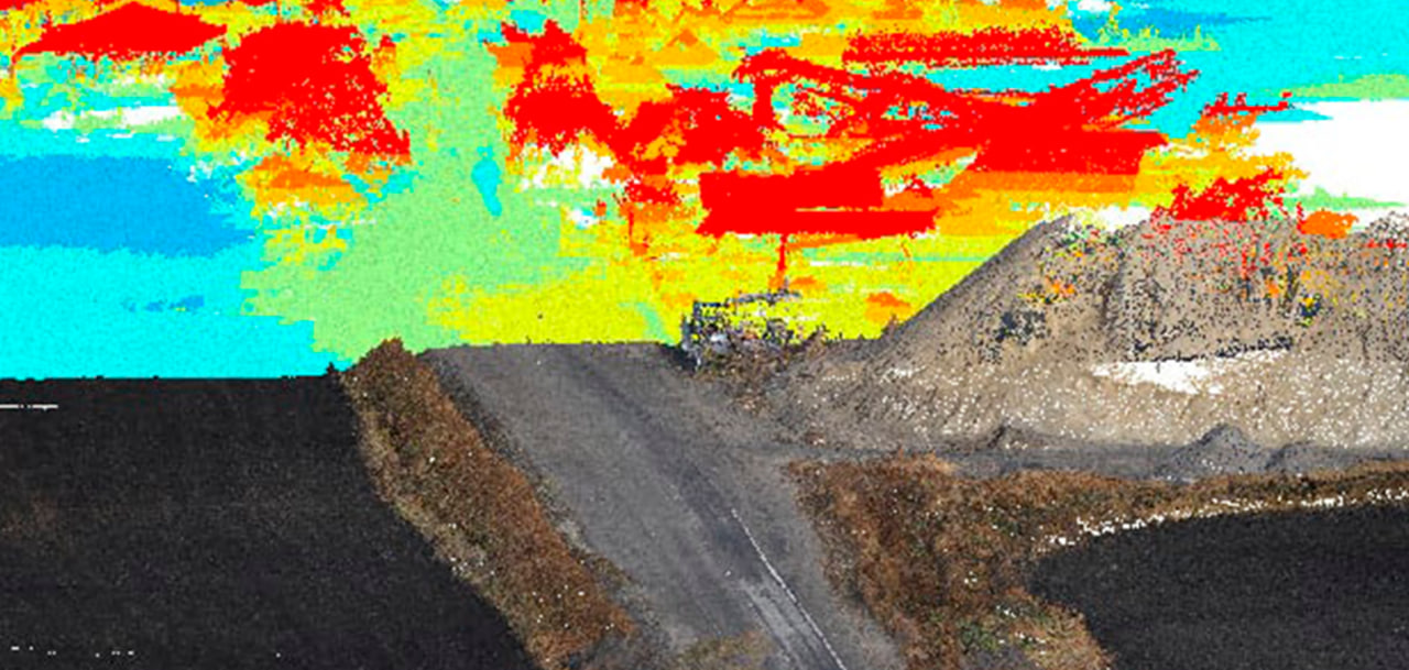
Point cloud, or 3D visualization, is one of the stages of creating accurate 3D models of terrain and objects. It represents a set of vertices in a three-dimensional coordinate system to create an image of the object's outer surface.
Point cloud data collected using UAVs (Unmanned Aerial Vehicles) serves as the basis for creating digital terrain and relief models, as well as high-quality 3D models of industrial, infrastructure, architectural, and other objects.
APPLICATION AREAS OF POINT CLOUD DATA
[ 01 ]\
[ 02 ]\
[ 03 ]\
[ 04 ]\
[ 05 ]\
[ 06 ]\
THE TECHNOLOGY WE USE TO ACCOMPLISH THIS
For data collection, we use our own developed UAV called "Skif" - a fixed-wing type of drone. In one shift, a single aircraft can cover an area of up to 1,000 hectares, and with a modern navigation system and a 61 MP camera, we can obtain images with a resolution of up to 1 cm per pixel.
More Information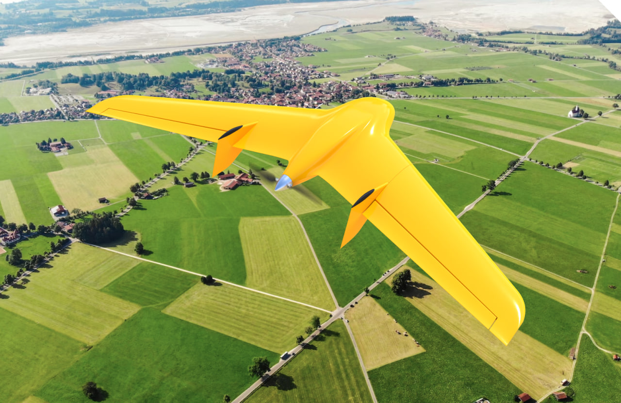
\9845769-57
We provide services as DaaS - Drone-as-a-Service. This allows you to avoid purchasing aviation equipment that may not be suitable for your needs and simply enter into a contract for aerial monitoring to receive ready-to-use data within a few days.
This working format increases the speed and quality of work execution and enables conducting large-scale research on any area within tight deadlines. Optionally, the "Skif" UAV can be equipped with 3D and LIDAR scanners for studying terrains with complex relief or dense vegetation coverage.
\9845769-57
THREE-DIMENSIONAL MODELS BASED ON POINT CLOUD DATA ALLOW FOR HIGH-PRECISION IMAGING OF TERRAIN AND OBJECTS ON IT, FOR REAL-TIME ANALYSIS AND INFORMED DECISION-MAKING
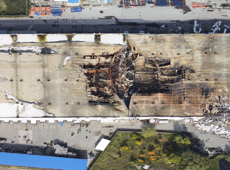
Design of engineering communications, energy, and oil and gas infrastructure objects
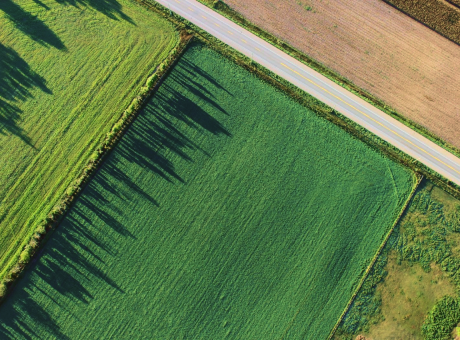
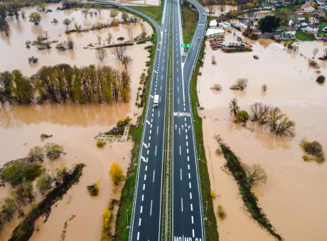
Creation of topographic and interactive maps of the terrain for effective territory management and increasing their tourist and investment attractiveness
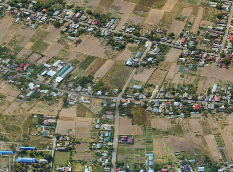
Planning the development of urban infrastructure
Land management and optimization of territory utilization based on their relief features
Obtaining topographic data for the mining industry and calculation of the volumes of mineral extraction

WORK EXECUTION PROCESS
-
[ 1 - 5 ]
Flight mission planning
-
[ 2 - 5 ]
Deployment of a service team to the location of aerial photography
-
[ 3 - 5 ]
Scanning the area using UAVs
-
[ 4 - 5 ]
Processing the captured data with specialized GIS software by company GIS specialists
-
[ 5 - 5 ]
Providing data to the client in a specified format, such as point clouds or 3D models created based on them
WHY CHOOSE CULVER AEROSPACE AS A PARTNER FOR YOUR BUSINESS?
[ 01 ]\
[ 02 ]\
[ 03 ]\
[ 04 ]\
[ 05 ]\
[ 06 ]\
[ 07 ]\