Services for public services
Optimizing work and improving the efficiency of tasks performed by government agencies using UAVs
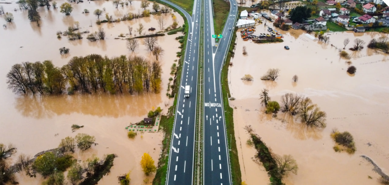
Unmanned aerial vehicles allow for monitoring of entrusted territories, detecting incidents, and effectively addressing them to ensure uninterrupted operation of enterprises and meet the needs of the population.
\9845769-57
UAVs assist government organizations in monitoring the work of specific services and structures, conducting territory monitoring to ensure their improvement, protection against emergencies, and comfortable living conditions for residents.
[ 01 ]\
[ 02 ]\
[ 03 ]\
[ 04 ]\
[ 05 ]\
[ 06 ]\
[ 07 ]\
THE TECHNOLOGY WE USE TO ACCOMPLISH THIS
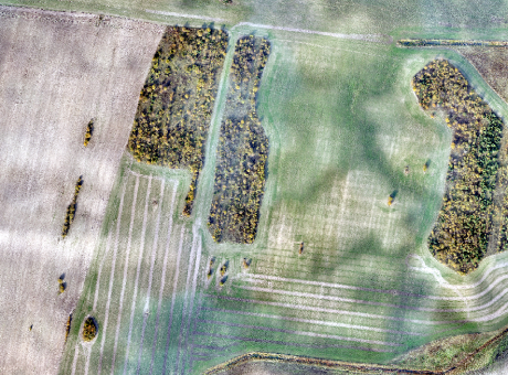
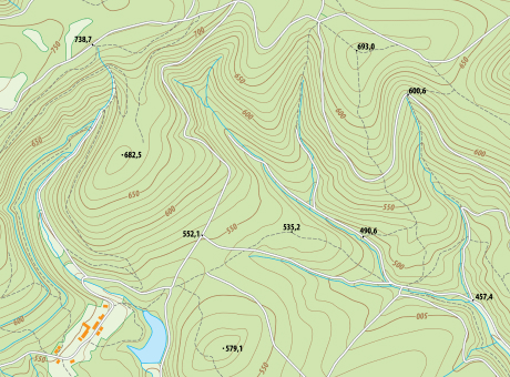
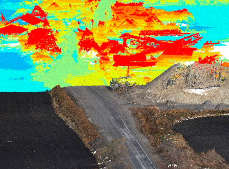
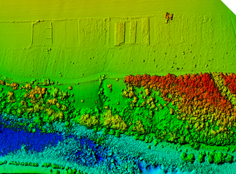
For monitoring, we utilize our own developed UAV called "Skif," which is a flying-wing type drone. In a single shift, one aircraft can cover an area of up to 1,000 hectares. The modern navigation system and a 61 MP camera allow us to capture images with a resolution of up to 1 cm per pixel.
Learn more
\9845769-57
We provide services as DaaS - Drone-as-a-Service. This allows you to avoid purchasing aviation equipment that is not specialized for your needs. Instead, you can simply enter into a contract for aerial monitoring and receive the finalized data within a few days.
This working format increases the speed and quality of monitoring, as well as enables large-scale research on any size of area within a short timeframe.
\9845769-57
HELPING WITH THE OPTIMIZATION OF HUMAN AND FINANCIAL RESOURCES FOR MONITORING ENTRUSTED TERRITORIES
Increasing the efficiency of tasks performed by emergency services.
Monitoring the activities of municipal organizations.
Forecasting the scale of natural disasters and planning preventive measures, minimizing damages, and eliminating consequences.
Protecting the population and entrusted territories from emergencies.
Improving the development of territories and satisfying the needs of residents.


PROCESS OF WORK EXECUTION
-
[ 1 - 4 ]
Obtaining and processing input data
-
[ 2 - 4 ]
Surveying the area using UAVs
-
[ 3 - 4 ]
Processing the collected data
-
[ 4 - 4 ]
Providing the client with the results in the specified format
WHY CHOOSE CULVER AEROSPACE AS YOUR BUSINESS PARTNER?
[ 01 ]\
[ 02 ]\
[ 03 ]\
[ 04 ]\
[ 05 ]\
[ 06 ]\
[ 07 ]\