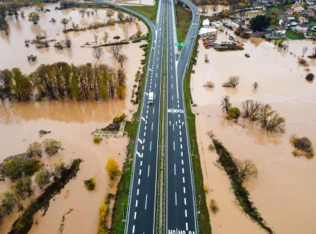
Digital terrain model
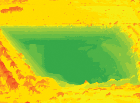
A digital mapping model containing data on terrain characteristics and objects located on it
Digital terrain models (DTMs) are one of the most important elements of geospatial analysis created based on terrain relief data and objects on it.
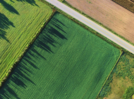
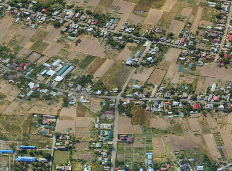
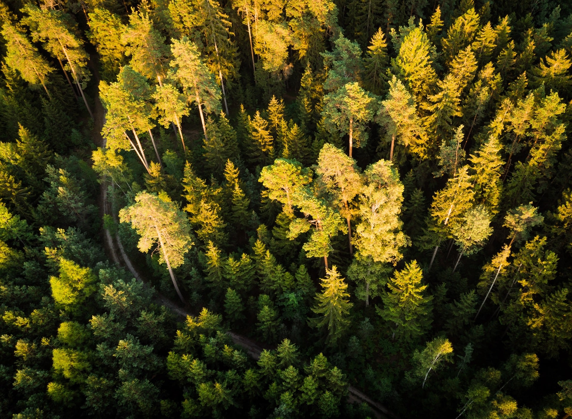
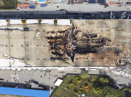
Creating digital terrain models allows for the representation of terrain, vegetation, buildings, and other objects present at the time of capture on the surveyed area.
APPLICATION AREAS OF DIGITAL TERRAIN MODELS
[ 01 ]\
[ 02 ]\
[ 03 ]\
[ 04 ]\
[ 05 ]\
[ 06 ]\
THE TECHNOLOGY WE USE TO ACCOMPLISH THIS
For data collection, we use our own developed UAV called "Skif" - a fixed-wing type of drone. In one shift, a single aircraft can cover an area of up to 1,000 hectares, and with a modern navigation system and a 61 MP camera, we can obtain images with a resolution of up to 1 cm per pixel.
Learn more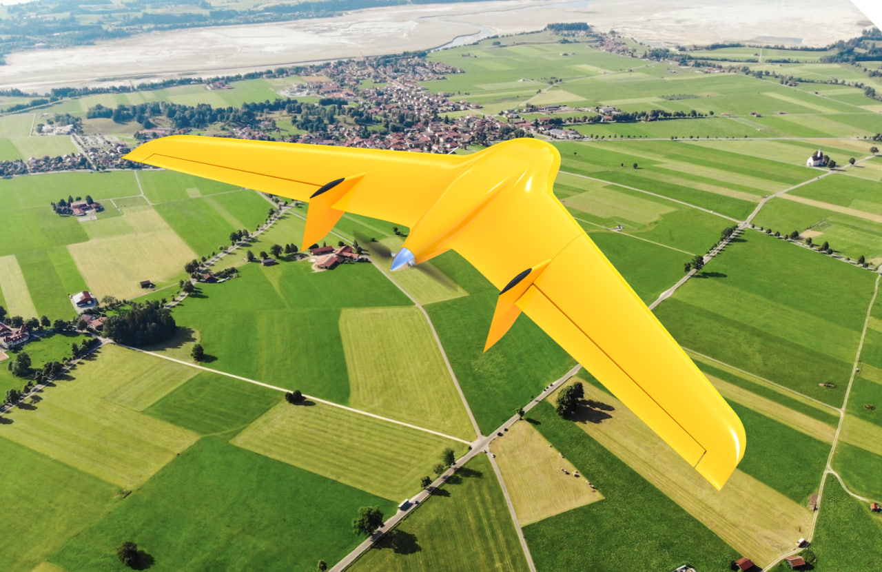
\9845769-57
We provide services as DaaS - Drone-as-a-Service. This allows you to avoid purchasing aviation equipment that may not be suitable for your needs and simply enter into a contract for aerial monitoring to receive ready-to-use data within a few days.
This working format increases the speed and quality of work execution and enables large-scale research to be conducted on any area within tight deadlines.
\9845769-57
WE WILL HELP YOU THOROUGHLY EXPLORE THE TERRAIN AND EVALUATE ALL POSSIBLE RISK FACTORS FOR FUTURE WORKS.
Calculating optimal parameters in construction
Mapping natural resources
Planning mobile telephone network infrastructure
Monitoring construction progress
Performing land cadastral surveys
Determining the volume of open-pit mining operations
Developing navigation and positioning systems
Forecasting natural and man-made disasters
Protection and monitoring of territories through comparison of created Digital Terrain Models (DTMs) at different times
Designing new and reconstructing existing pipelines and engineering structures
Analyzing negative consequences of potential natural factors
Designing projects for roads, highways, and intersections
WORK PROCESS
-
[ 1 - 5 ]
Receiving technical requirements from the client, collecting information about the land plot area and its location
-
[ 2 - 5 ]
Preparing a flight mission for unmanned aerial vehicles (UAVs), establishing control points, determining spatial coordinates and elevation marks
-
[ 3 - 5 ]
Aerial photography of the area using UAVs and obtaining spatial data about the terrain
-
[ 4 - 5 ]
Processing the collected data, organizing the images, and creating a digital 3D model of the terrain using photogrammetric processing algorithms
-
[ 5 - 5 ]
Developing a DTM based on the collected data using specialized software
WHY CHOOSE CULVER AEROSPACE AS A PARTNER FOR YOUR BUSINESS?
[ 01 ]\
[ 02 ]\
[ 03 ]\
[ 04 ]\
[ 05 ]\
[ 06 ]\
[ 07 ]\
