Digital elevation model
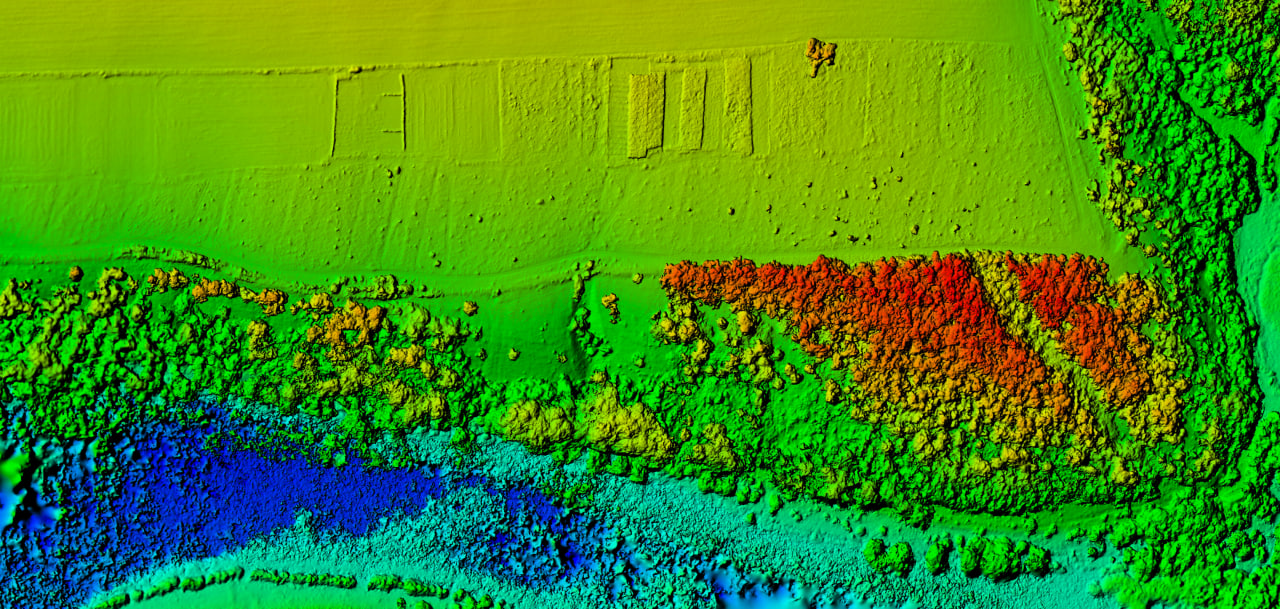
A three-dimensional image of the earth's surface created from terrain data
Digital elevation models (DEMs) are created by processing spatial data obtained using UAVs and allow for the identification of all possible terrain features.
Creating digital elevation models is necessary for analyzing land use structure and optimizing land use considering their landscape characteristics.
APPLICATION AREAS OF DIGITAL ELEVATION MODELS
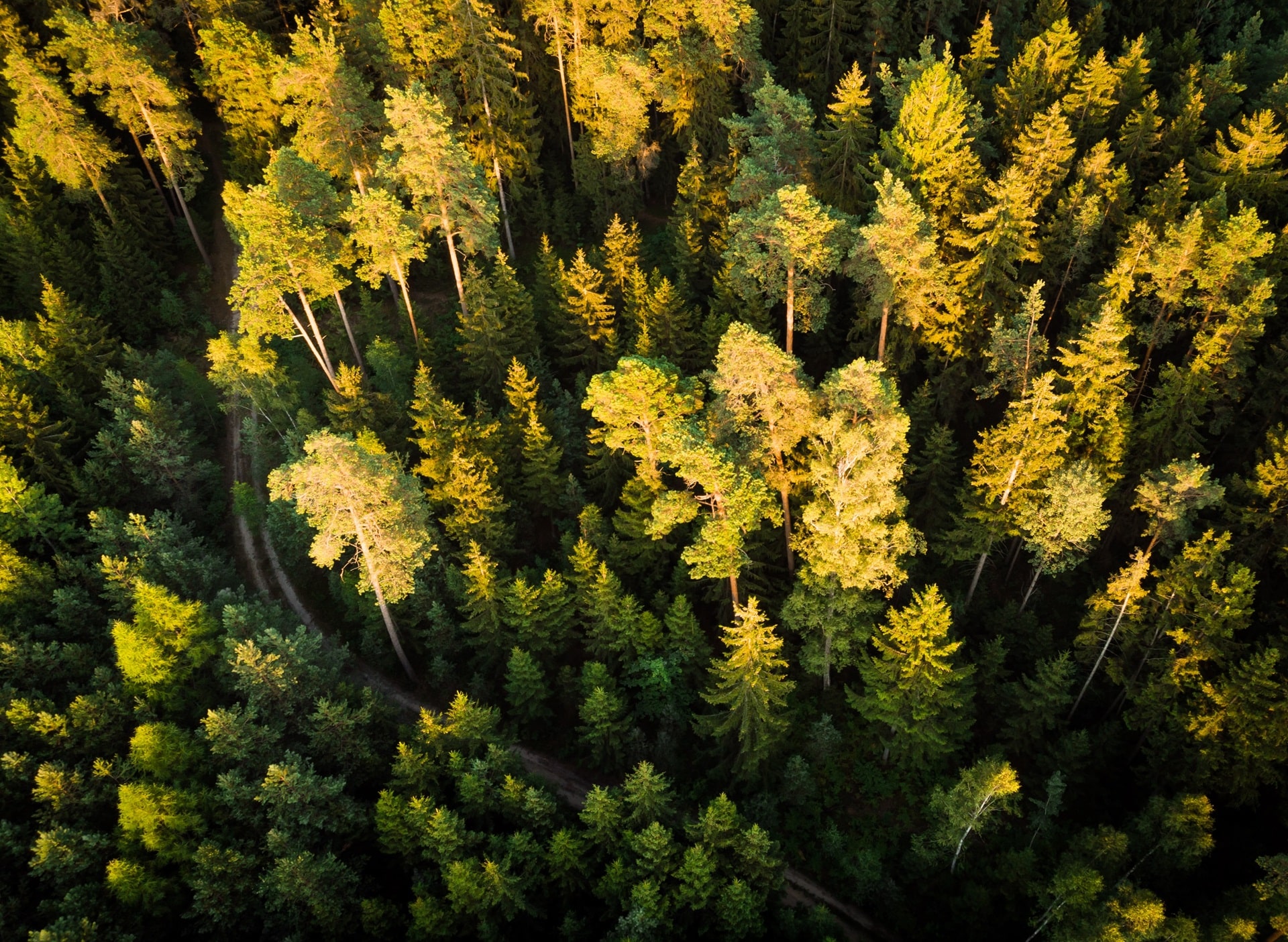
[ 01 ]\
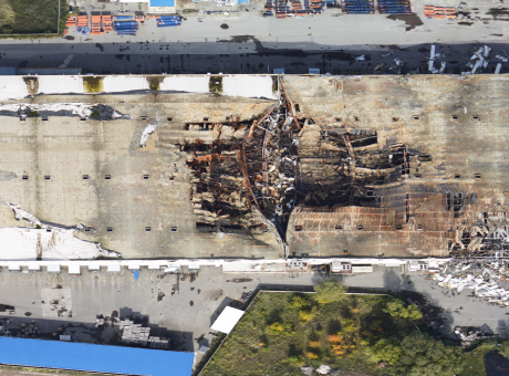
[ 02 ]\
[ 03 ]\
[ 04 ]\
[ 05 ]\
[ 06 ]\
THE TECHNOLOGY WE USE TO ACCOMPLISH THIS
For data collection, we use our own developed UAV called "Skif" - a fixed-wing type of drone. In one shift, a single aircraft can cover an area of up to 1,000 hectares, and with a modern navigation system and a 61 MP camera, we can obtain images with a resolution of up to 1 cm per pixel.
Learn more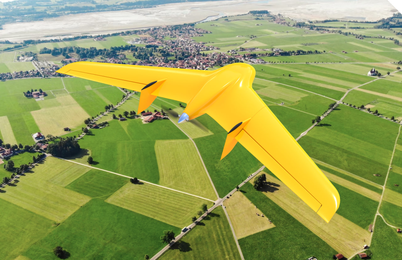
\9845769-57
We provide services as DaaS - Drone-as-a-Service. This allows you to avoid purchasing aviation equipment that may not be suitable for your needs and simply enter into a contract for aerial monitoring to receive ready-to-use data within a few days.
This working format increases the speed and quality of work execution and enables large-scale research to be conducted on any area within tight deadlines.
\9845769-57
WE CAN HELP YOU STUDY EVERY CENTIMETER OF THE TERRITORY AND OBTAIN DETAILED INFORMATION ABOUT ITS LANDSCAPE CHARACTERISTICS FOR SOLVING THE FOLLOWING TASKS
Measuring soil volumes on industrial sites
Obtaining information about possible soil settlement
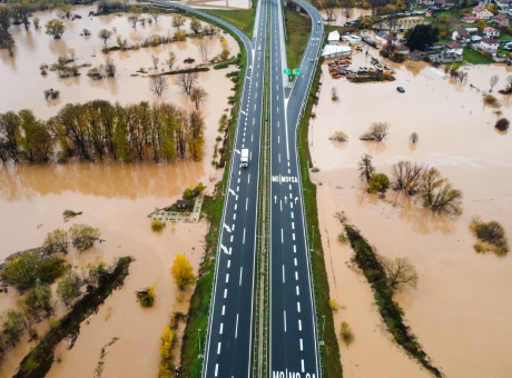
Determining groundwater levels and areas of water accumulation
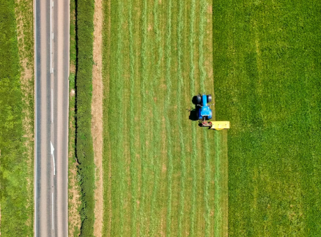
Studying soil characteristics and quality
Exposing slopes for agricultural and construction purposes
Analyzing and modeling visibility/invisibility zones
Improving the quality of drainage works
WORK PROCESS
-
[ 1 - 5 ]
Receiving technical requirements from the client, collecting information about the land plot area and its location
-
[ 2 - 5 ]
Preparing a flight mission for unmanned aerial vehicles (UAVs), establishing control points, determining spatial coordinates and elevation marks
-
[ 3 - 5 ]
Aerial photography of the area using UAVs and obtaining spatial data about the terrain
-
[ 4 - 5 ]
Processing the collected data, organizing the images, "stitching" them into a digital model, establishing horizontals
-
[ 5 - 5 ]
Developing a DEM based on the collected data using specialized software
WHY CHOOSE CULVER AEROSPACE AS A PARTNER FOR YOUR BUSINESS?
[ 01 ]\
[ 02 ]\
[ 03 ]\
[ 04 ]\
[ 05 ]\
[ 06 ]\
[ 07 ]\