Precision agriculture
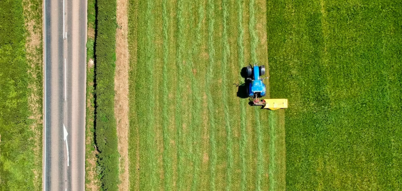
Collecting data using UAVs to implement a systematic approach to farm management, improve production efficiency, and make informed management decisions.
Precision agriculture allows farmers to enhance field operations, optimize the application of plant protection products and fertilizers, and make efficient use of resources. Reducing production costs and increasing yields through the use of advanced technologies enables higher profitability in agriculture.
\9845769-57
Drones in precision agriculture are used for data collection in geographic information systems, remote sensing of land, determining pesticide application rates, and assessing crop yields.
[ 01 ]\
[ 02 ]\
[ 03 ]\
[ 04 ]\
[ 05 ]\
THE TECHNOLOGY WE USE TO ACCOMPLISH THIS
For data collection, we use our own developed UAV "Skif," which is a fixed-wing type drone. In one shift, one aircraft can cover an area of up to 1,000 hectares, and its modern navigation system and 61 MP camera allow for capturing images with a resolution of up to 1 cm per pixel.
Learn more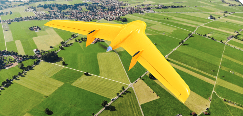
\9845769-57
We provide services as DaaS - Drone-as-a-Service. This allows you to avoid purchasing aviation equipment that is not specialized for your needs. Instead, you can simply enter into a contract for aerial monitoring and receive the finalized data within a few days.
This working format increases the speed and quality of monitoring, as well as enables large-scale research on any size of area within a short timeframe.
\9845769-57
HELPING IMPLEMENT PRECISION AGRICULTURE ON YOUR FENTERPRISE
Agricultural monitoring (visual assessment of crops and identification of problematic areas).
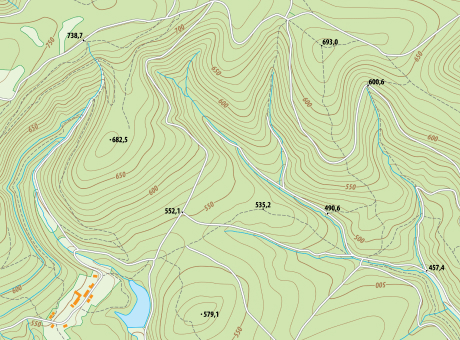
Vectorization of field contours.
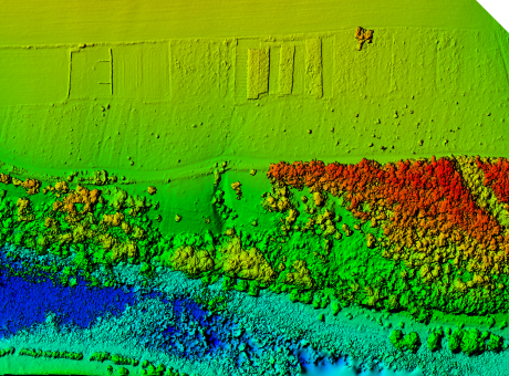
Aerial photography and orthophotoplanes (RGB + digital terrain model / digital elevation model) (optional).
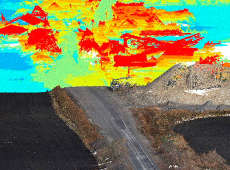
Aerial photography of fields and NDVI orthophotoplanes.

PROCESS OF WORK EXECUTION
-
[ 1 - 4 ]
Obtaining and processing input data
-
[ 2 - 4 ]
Surveying the area using UAVs
-
[ 3 - 4 ]
Processing the collected data
-
[ 4 - 4 ]
Providing the client with the results in the specified format
WHY CHOOSE CULVER AEROSPACE AS YOUR BUSINESS PARTNER?
[ 01 ]\
[ 02 ]\
[ 03 ]\
[ 04 ]\
[ 05 ]\
[ 06 ]\
[ 07 ]\