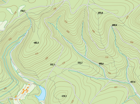
Precise contours of fields and plots
Determining the boundaries of land parcels and precise land area using UAVs
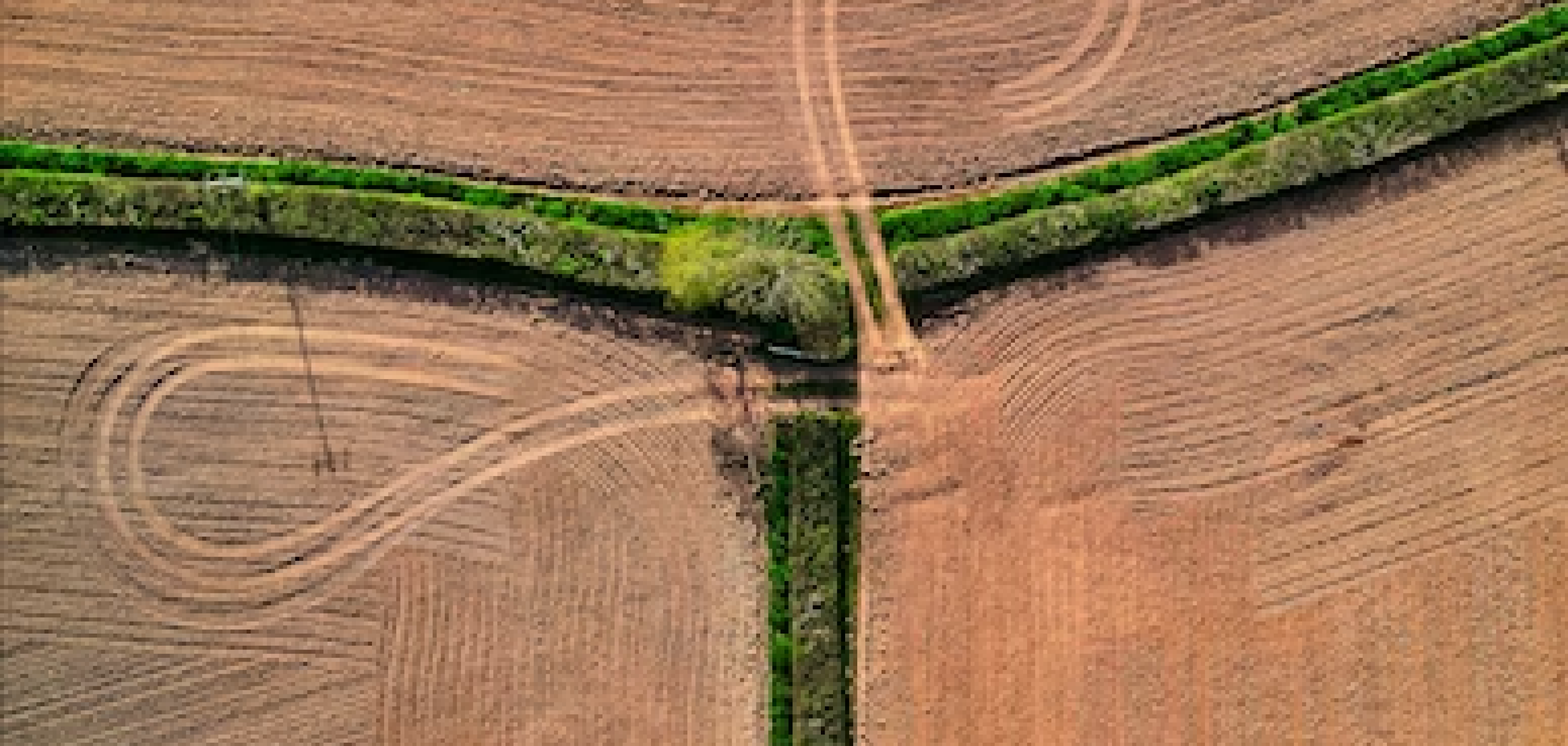
Agricultural accounting requires regular updating of data, including field and crop boundaries and areas under cultivation. The actual usable area of a field doesn't always match the legal documentation. Measuring precise plot boundaries helps agribusinesses avoid unnecessary costs and is an essential component for implementing precision agriculture systems.
Benefits of precise field measurement
[ 01 ]\
[ 02 ]\
[ 03 ]\
[ 04 ]\
THE TECHNOLOGY WE USE TO ACCOMPLISH THIS
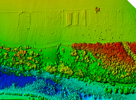
Measuring fields with the help of drones allows you to get not only the exact contours and area, but also a detailed orthophoto plan of the field and its relief matrix. Culver Aviation provides services for measuring the exact contours of fields and plots and determining the area of fields and crops using a UAV of its own production "Skif" equipped with a 61 MP camera.
Learn more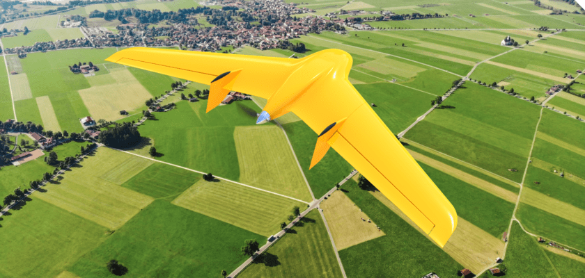
\9845769-57
We provide services as DaaS - Drone-as-a-Service. This allows you to avoid purchasing aviation equipment that is not specialized for your needs. Instead, you can simply enter into a contract for aerial monitoring and receive the finalized data within a few days.
This working format increases the speed and quality of monitoring, as well as enables large-scale research on any size of area within a short timeframe.
\9845769-57
Advantages of using the "Skif" UAV for precise field measurement
Coverage of up to 1000 hectares in a single flight
Fuel cost savings
High accuracy and resolution of images up to 1 cm per pixel
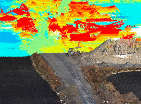
Obtaining additional information about crop conditions and situations within the field that are not visible during conventional inspections (from orthophotoplanes)

PROCESS OF WORK EXECUTION
-
[ 1 - 4 ]
Obtaining and processing input data
-
[ 2 - 4 ]
Surveying the area using UAVs
-
[ 3 - 4 ]
Processing the collected data
-
[ 4 - 4 ]
Providing the client with the results in the specified format
\9845769-57
DEPENDING ON YOUR OBJECTIVES AND TASKS, YOU WILL RECEIVE
Aerial photography and RGB orthophotoplanes + digital terrain model / digital elevation model (optional)
Vectorization of field boundaries
Optimization of material and commodity costs
WHY CHOOSE CULVER AEROSPACE AS YOUR BUSINESS PARTNER?
[ 01 ]\
[ 02 ]\
[ 03 ]\
[ 04 ]\
[ 05 ]\
[ 06 ]\
[ 07 ]\