News and media
A new page in our history: Culver Aviation becomes Culver Aerospace!
More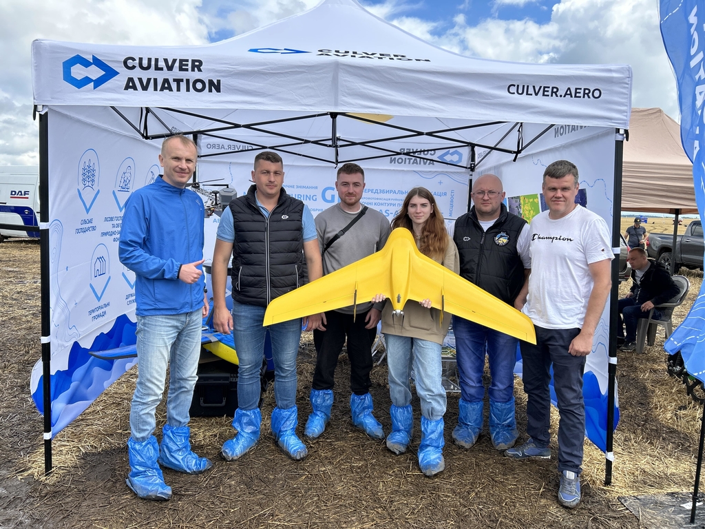
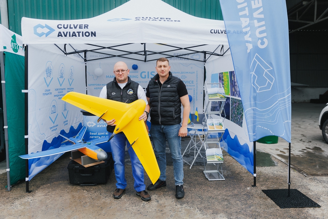
UAVs designed and manufactured by Culver Aviation for use in agriculture were presented at UCAB Agrotechnology 2023
More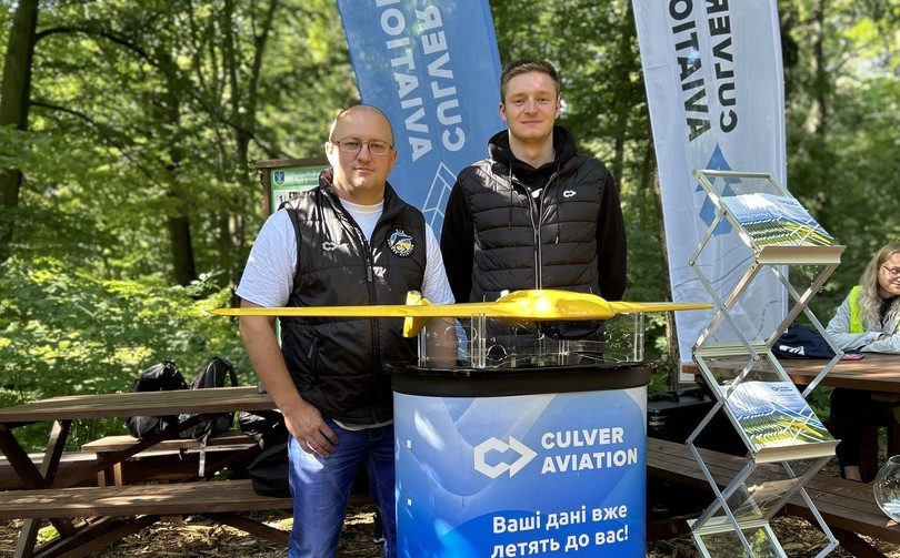
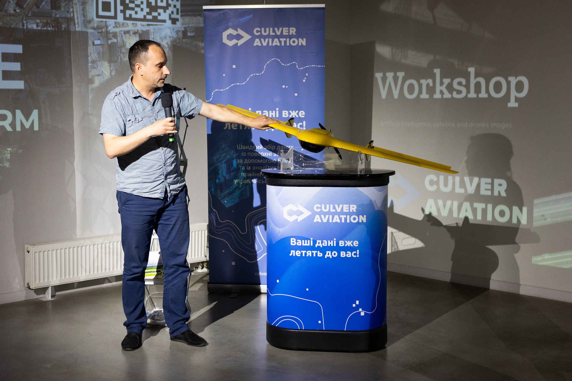
The Culver Aviation team took part in the Summer School of Geodesy and Land Management 2023 at NUBiP
More