On June 27, Kyiv hosted a workshop entitled "Damage Assessment of 70 Settlements in Mykolaiv: Potential of Digital Technologies for Waste Assessment and Investment in Environmental Reconstruction of Ukraine", in which Culver Aviation participated.
The event was organized by Neo-Eco Ukraine, Mission East, and UADamage. The workshop presented a damage analysis and damage assessment of 158 settlements, including 70 in the Mykolaiv region.
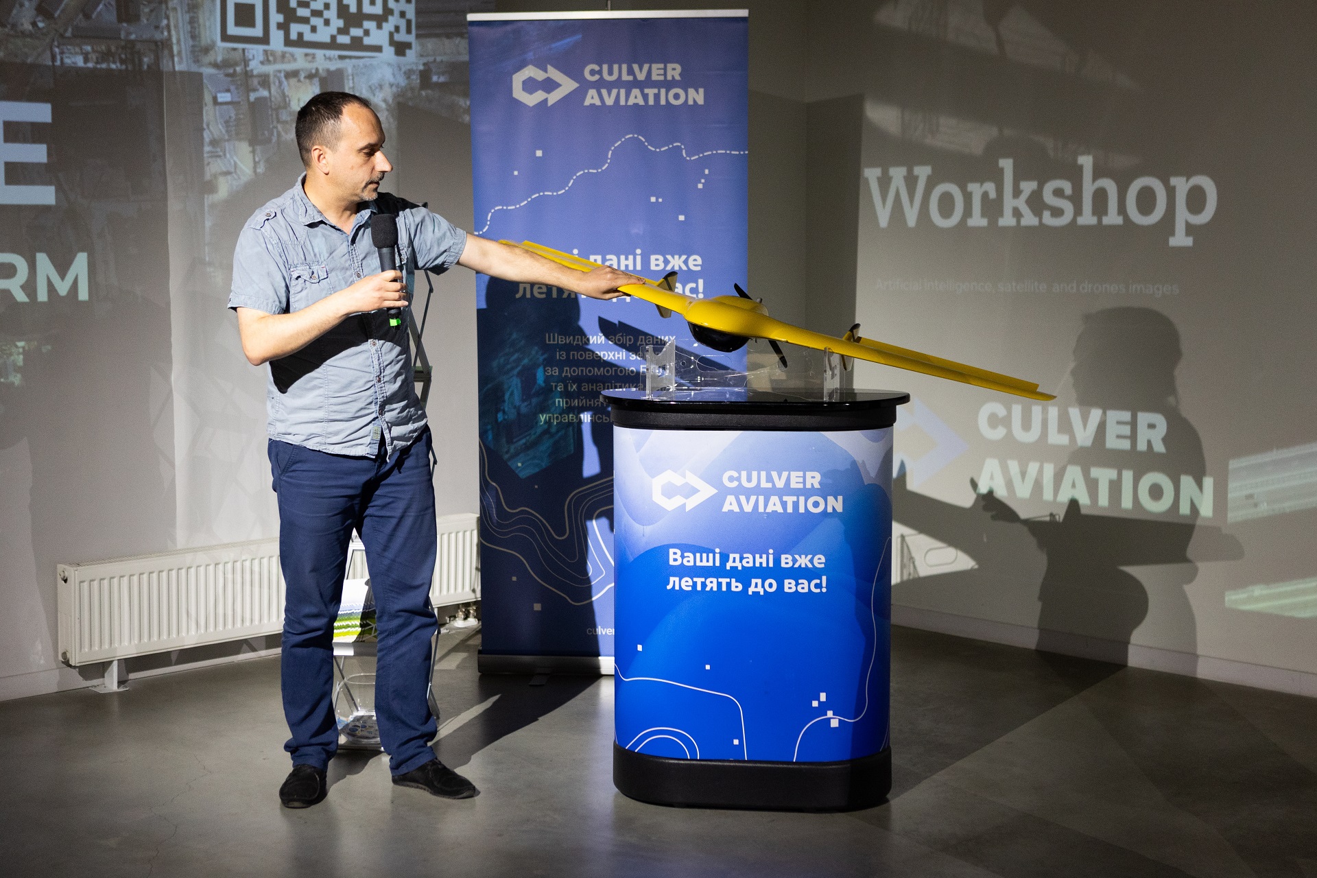
The results were based on the processing of data obtained by combining the capabilities of a number of digital technologies - satellite monitoring, UAVs and artificial intelligence. The organizers of the event held a virtual presentation of the research data, and representatives of Culver Aviation demonstrated the capabilities of unmanned aerial vehicles to digitize data on the destruction caused by the war.
As a reminder, Culver Aviation's team of operators, together with their colleagues from UADamage, is conducting a study of war-damaged areas using UAVs of their own design and production, the Scythian. It is with the help of the images obtained from the drone that the system with elements of artificial intelligence assesses the level of damage to buildings by comparing them with pre-war satellite images.
Another area of cooperation between Culver Aviation and UADamage is the creation of 3D visualizations of objects based on UAV images.
Our drones, equipped with high-resolution cameras and modern geodetic equipment, take a large number of aerial photos from different angles of the object. Then, using special software and modern photogrammetric processing algorithms, Culver Aviation's GIS department creates 3D models, which are highly accurate georeferenced three-dimensional maps of heights and terrain irregularities, on which the phototexture of the modeled objects is superimposed.
Such photorealistic 3D models allow you to quickly form a realistic picture of the state of objects and determine the type and scope of work required for reconstruction. This is especially important for critical infrastructure, the restoration of which is of paramount importance. The geometric accuracy of three-dimensional models will allow architects and construction companies to reconstruct buildings faster and more efficiently and see details that are not available during a normal inspection.
So far, Culver Aviation and UADamage teams have already created 3D visualizations in a number of settlements in the Mykolaiv region. The digitization of the affected settlements is ongoing.
Learn more about creating 3D models of buildings for damage assessment in our video.