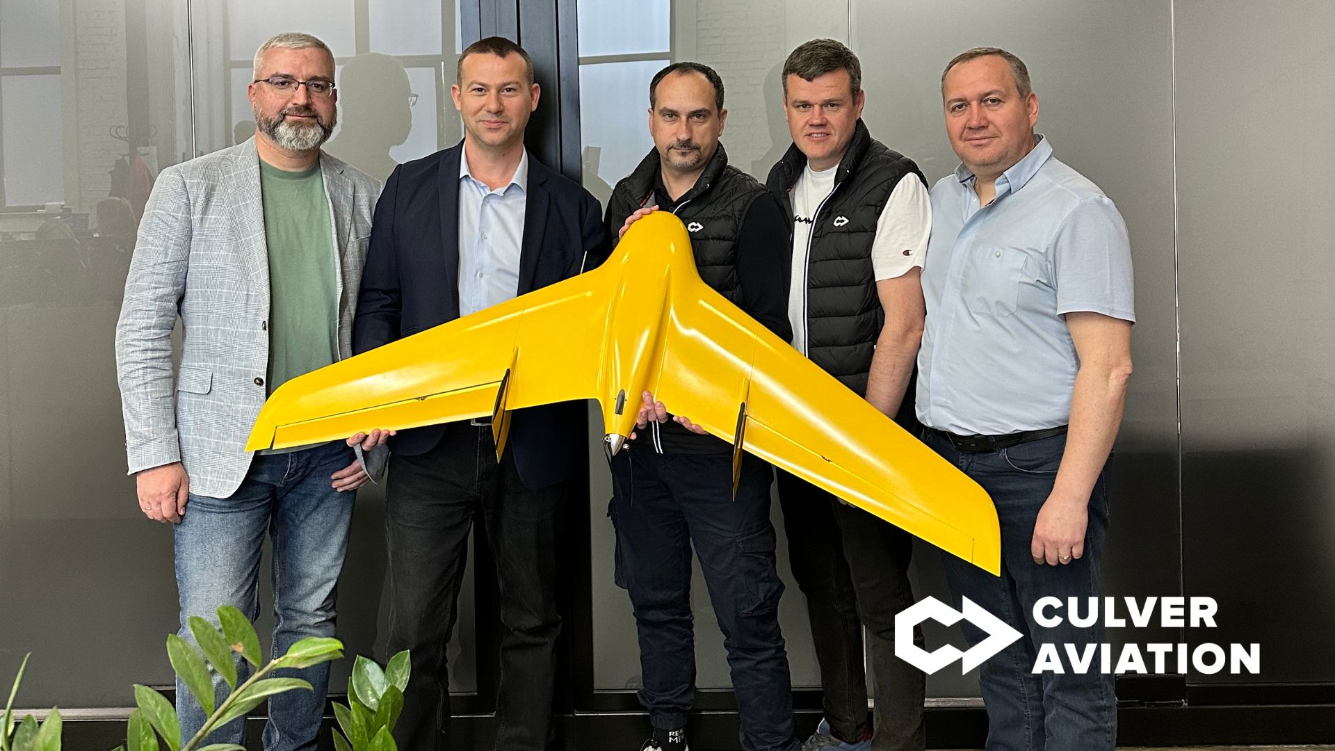
Memorandum of Cooperation on the use of UAVs to create a mapping base signed between Culver Aviation, the Association of Land Management Specialists of Ukraine and the Association of Certified Surveyors of Ukraine.
The solemn signing of the Memorandum took place within the framework of the event "Presentation of Spatial Planning Needs and Tools" held on May 31 in Kyiv. During the meeting, representatives of the USAID AGRO Program, territorial communities, central executive authorities and higher education institutions of Ukraine reviewed the needs and discussed spatial planning tools that will facilitate its development.
As part of the Memorandum, members of NGOs receive a discount of up to 20% on Culver Aviation services, including topographic surveying, aerial photography, remote sensing using UAVs and/or preparation of orthophotomaps, etc.
Together with partners, Culver Aviation specialists will work on creating a mapping base using UAVs and implementing high-precision geodetic coordinate services of system of coordinate-time and navigational support of Ukraine (further – SKNZU).
SKNZU is designed to monitor the state of the radio navigation field formed by GPS systems and to provide GNSS users with additional information necessary to improve the accuracy and reliability of real-time positioning.
Culver Aviation's cooperation with partners is aimed at providing effective tools for the needs of geodesy, cartography, topography, aerial photography, land management, precision agriculture and other areas. Also, the services of high-precision geodetic coordinates of the SCNZU will contribute to the development of spatial planning and the development of comprehensive plans for the spatial development of territories of territorial communities.
«Even the most accurate geodetic measurements can accumulate errors over time. While not critical for the scale of a single settlement, they can reach several meters within the country. And centimeter accuracy is necessary to ensure the effective work of specialists in geodesy, cartography, land management, etc. The creation of a unified geodetic coordinate system is also important in the context of developing comprehensive spatial development plans. Local systems do not allow to effectively solve the tasks of spatial planning of territorial communities, so the issue of mutual coordination of local coordinate systems is of paramount importance and is a prerequisite for the further implementation of geographic information portals. We thank our partners for their trust and look forward to fruitful cooperation», says Sergii Ivanov, CCO of Culver Aviation.
«The introduction of high-precision geodetic coordinate services will help improve the efficiency of management and processing of cartographic and geodetic data, make them more accessible and allow for faster analysis and decision-making based on them. I am confident that cooperation with Culver Aviation in this area will make the storage and management of geodata more transparent, reduce the cost of collecting and maintaining them, and contribute to the economic development and digital transformation of the State Cartographic and Geodetic Fund of Ukraine, as well as local governments and government agencies», – said Anatoliy Poltavets, head of the All-Ukrainian NGO Association of Land Management Specialists of Ukraine.
«Proper instrumentation of specialists is a prerequisite for the effective implementation of a range of measurement and land management activities. The use of unmanned aerial vehicles greatly facilitates topographic and geodetic work, especially when it comes to the introduction of high-precision geodetic coordinate services. I have no doubt that by working together with our partners, we will be able to solve problems with technical support and perform geodesy work more efficiently», – adds Pavlo Matveev, Chairman of the Board of the Association of Certified Surveyors of Ukraine.
In addition to implementing joint projects, exchanging ideas, experience, materials and information necessary to achieve the goal of the Memorandum, Culver Aviation will provide the Association members with topographic surveying, aerial photography, remote sensing using UAVs, preparation of orthophotomaps, etc. All organizations that are members of the Associations of Land Management Professionals and Certified Surveyors of Ukraine will have expanded opportunities and exceptional terms of cooperation.