Although the war is still ongoing, the need to plan for the country's recovery is already emerging. Sustainable development of the economy and communities should be based on the principles of sustainable, or green, recovery of Ukraine, using the most modern and effective practices. In addition to restoring critical infrastructure, healthcare and education facilities, affected communities and ensuring the country's energy and food security, one of the components of sustainable recovery is the preservation of Ukraine's natural wealth, including its forests.
Ukraine's forests are not just trees, but a complex ecosystem that needs to be protected. UAVs can help ensure their proper protection and reproduction, control illegal logging, and create favorable conditions for sustainable forestry. Read our article to find out how drones help to detect problems in time and revolutionize forest and forestry management.
Since the beginning of 2023, the Ukrainian forest industry has been operating under a new model. The reform of Ukraine's forestry industry envisaged the merger of 158 state forestry enterprises into a single state-specialized forestry enterprise, Forests of Ukraine, and the establishment of 9 regional offices instead of 24 interregional forestry and hunting departments.
According to the Ministry of Ecology, these changes will allow forests to be managed by EU standards and practices and attract investments for the development of the industry. One of the important tasks facing the State Forestry Agency is to ensure proper digital transformation of the forestry and hunting sector.
UAVs help forestry owners and specialized services to monitor territories to ensure their improvement, and protection against emergencies and illegal logging. However, as the industry is being reformed and transitioning to European standards, drones are also becoming an important component of forest management.
UAVs and the reform of Ukraine's forestry industry
One of the important innovations in the forestry sector reform is that from now on, forest management materials will be developed electronically and entered into a single electronic taxation and mapping database. As this information is rapidly losing its relevance, there is an urgent need to modernize outdated forest cartography and ensure its regular updating.
UAVs not only allow to see the situation in the forest from a bird's eye view but also to quickly obtain forest mapping data to effectively plan and implement forestry activities. The information obtained with their help makes it possible to quickly make changes to electronic maps that have occurred over a certain period and improve the quality of materials that form the basis of continuous forest management.
Unlike labor-intensive ground-based mapping methods, unmanned aerial vehicles allow for quick and cost-effective aerial surveys of territories to create orthophotomaps. Other advantages of using UAVs include their accuracy, mobility, and greater efficiency compared to traditional methods.
Obtaining forest mapping data using UAVs greatly simplifies forest inventory, facilitates the work of specialists, and will accelerate the transition to new standards and practices in forestry due to its reform.
How UAVs protect forests
Unmanned aerial vehicles allow us to monitor large areas of forest land, detect the effects of fires and natural disasters, and control illegal logging.
The main opportunities for using UAVs in forestry:
• exploration of dangerous or hard-to-reach areas;
• conducting search and rescue operations in forests;
• inspection of the general condition of forest plantations;
• detection of fires and natural disasters and examination of their consequences;
• detection of illegal felling of trees;
• detection and prevention of poaching.
Drones make it possible to detect fires or other natural disasters in the forest much faster, as well as coordinate firefighting and survey the aftermath with minimal losses. UAVs help to protect forests from illegal logging, detect poaching, etc.
In addition to improving forest management, unmanned aerial vehicles can also monitor the condition of forests or forest pathology monitoring. For example, based on changes in the color and sparseness of the forest canopy and other visual signs, UAV data can be used to identify forest areas affected by leaf-eating pests, as well as windbreaks, snowbirds, storms, dryness, clutter, etc. This will help to simplify audits, forest walks, and forest inventory, and create electronic maps for effective monitoring and control.
Thus, the use of UAVs opens up many new opportunities for implementing ideas, improving the work of foresters, and the overall digitalization of the forestry sector.
Forest and forestry monitoring services Culver Aviation
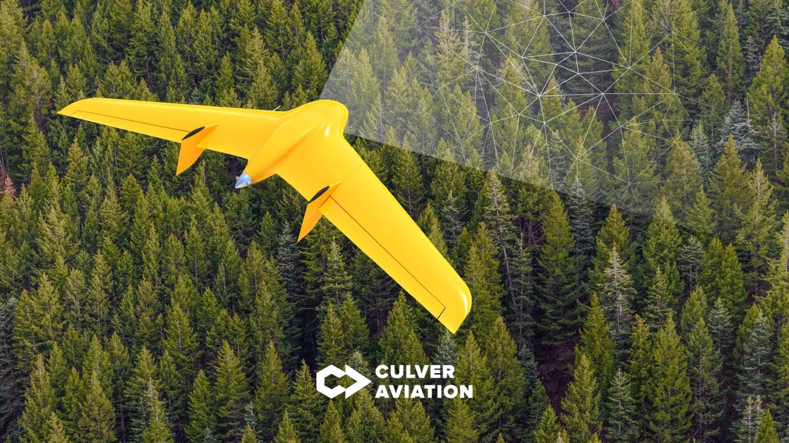
For monitoring, we use a Skif UAV of our design and production - a flying wing drone. During one shift, our aircraft can cover an area of up to 1,000 hectares, and a modern navigation system and a 61-megapixel camera allow us to take images with a resolution of up to 1 cm per pixel.
Culver Aviation provides services as a DaaS service – Drone-as-a-Service. This allows our customers not to purchase non-core aircraft, but simply to sign an aerial monitoring contract and receive ready-made data in a matter of days. This format of work increases the speed and quality of monitoring and also allows for large-scale research in any area in a short time. To learn more about our monitoring services for the forestry industry, please follow the link.
Cooperation with Culver Aviation will help forestry owners and specialized services to optimize human and financial resources, which allows to:
• increase the efficiency of forestry monitoring;
• cover large areas in a short time;
• predict the scale of fires and other natural disasters, as well as plan measures to prevent them, minimize damage, and eliminate the consequences;
• protect forest plantations from illegal felling of trees;
• carry out environmental monitoring;
• prevent poaching.
Interested in learning more about UAV capabilities for monitoring forests and forest lands? Please call 0 800 351 709.