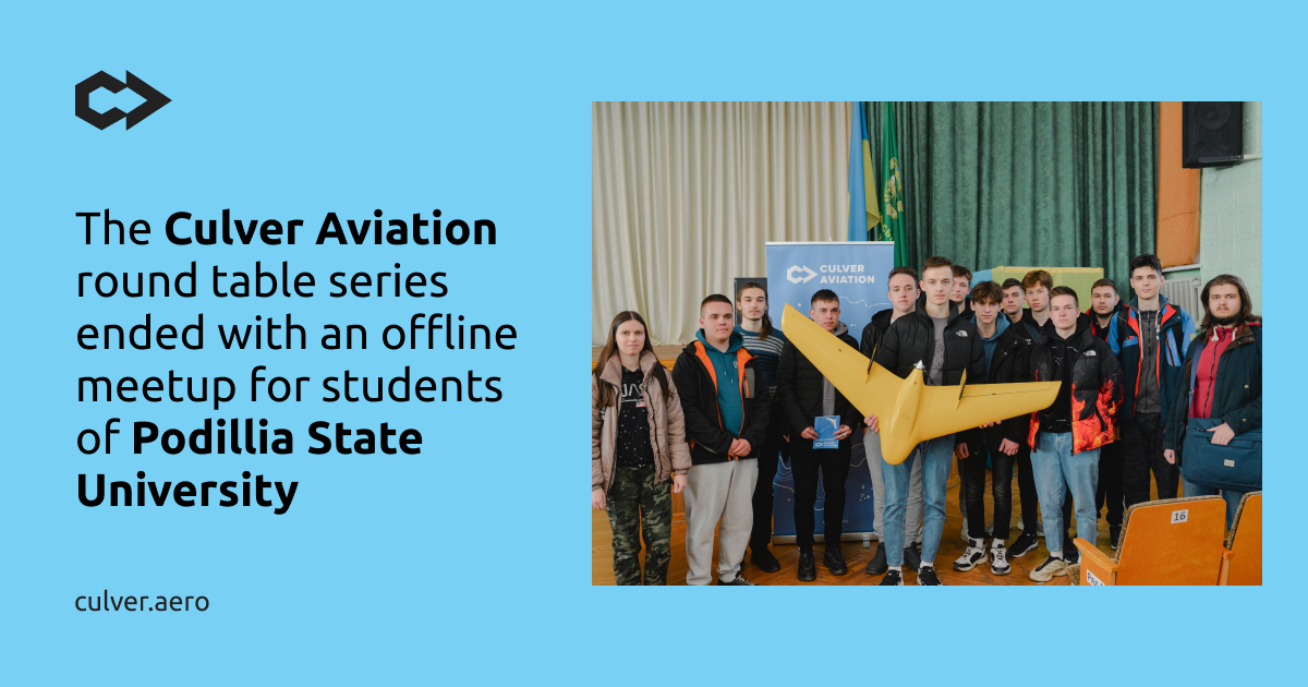
On March 30, Culver Aviation held an offline meetup on "Digitalization of land management in Ukraine" at Podillia State University in Kamianets-Podilskyi.
The company's specialists told the students of the university's Faculty of Agricultural Technologies and Environmental Management about the opportunities and benefits of using UAVs for auditing, topographic surveying, and creating orthophoto plans and high-precision maps, as well as using geographic information systems in land management and agribusiness.
The offline meetup concludes the spring series of Culver Aviation roundtables dedicated to innovations in land management. The event was timed to coincide with the Day of Geodesy and Cartography, which is celebrated annually on the first Sunday of April.
Andriy Levchuk, Head of Geoinformation Systems at Culver Aviation, told the participants of the event about the possibilities and benefits of remote sensing and aerial surveying using UAVs. He also focused on the tasks that modern geoinformation systems and technologies can solve and described their connection with cadastral systems.
