The Menatir system, designed by the engineers of Culver Aviation, is a network of UAV base stations for real-time automated aerial monitoring 24/7/365. It allows companies and state institutions to receive and process information from the Earth's surface continuously without human intervention.
Menatir can be used for a variety of tasks:
- video surveillance of any objects in real time,
- aerial photography in HD-quality to create orthophotomaps of the area,
- monitoring the condition of crops, forests, water bodies,
- prevention of landscape fires,
- air quality analysis and other tasks — in real time according to a planned schedule or on request.
Our aerial monitoring UAV network will be useful for solving the problems of fire, road, environmental, municipal, infrastructure and other services. We told about how it works in the article for dev.ua.
Regardless of the number of base stations in the network, only one specialist is needed to manage Menatir from anywhere in the world. Service and technical support is provided by the Culver Aviation team.
"Our solution has no analogues in terms of automation and scalability. This is a new way of dealing with UAVs and data. Businesses and state structures will be able to continuously receive and process information automatically with minimal human intervention and make the correct management decisions. With Menatir, it is 30% cheaper than with traditional unmanned systems and helicopters," — says Oleksandr Danylenko, CEO of Culver Aviation and author of the project.
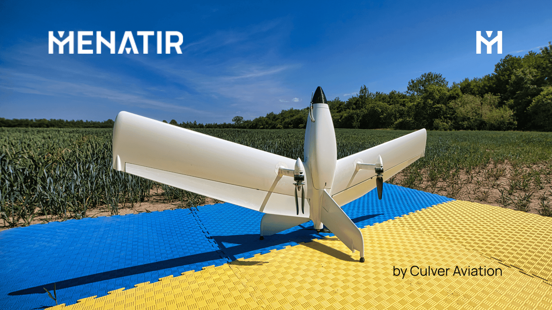
New drone
For the project, the company has developed a unique Menatir UAV with vertical takeoff and landing. On a single charge, the unmanned aircraft can fly up to 45 km one way and return. The base station contains up to 6 such drones. The UAV can be equipped with one of the following types of payloads:
- video camera;
- video camera with thermal imager;
- digital camera;
- multispectral camera;
- eco-sensor;
- any custom equipment that meets the specified dimensions and weight.
Menatir can be used for video surveillance of any objects in HD-quality, aerial photography to create orthophotomaps of the area, monitoring the condition of crops, forests, water bodies, preventing landscape fires, analyzing the state of air quality and other tasks — in real time according to a planned schedule or on request.
Base stations with scaling
To cover large areas, the system can be scaled up to any number of containers, which are installed in such a way as to overlap each other's range. Drones will be able to move freely between the stations of the network, and it will take no more than 20 minutes to fly to any of the coverage points. In case of unfavorable weather in the area of one of the containers or in case of force majeure, the overlapping zones will allow another UAV to take off and continue the task.
The aircraft automatically launch from the container, perform the mission and return according to the programmed tasks. It takes three minutes from receiving the command to the departure of the aircraft. Each container has its own weather station, which will protect the UAV: the system will stop the flight mission and the aircraft will return to the container in case of bad weather.
The data collected by drones is processed and analyzed by specialized software with elements of artificial intelligence — Drone Management System. The system sends the stages and results of flight missions to network users, in particular, through a mobile application.