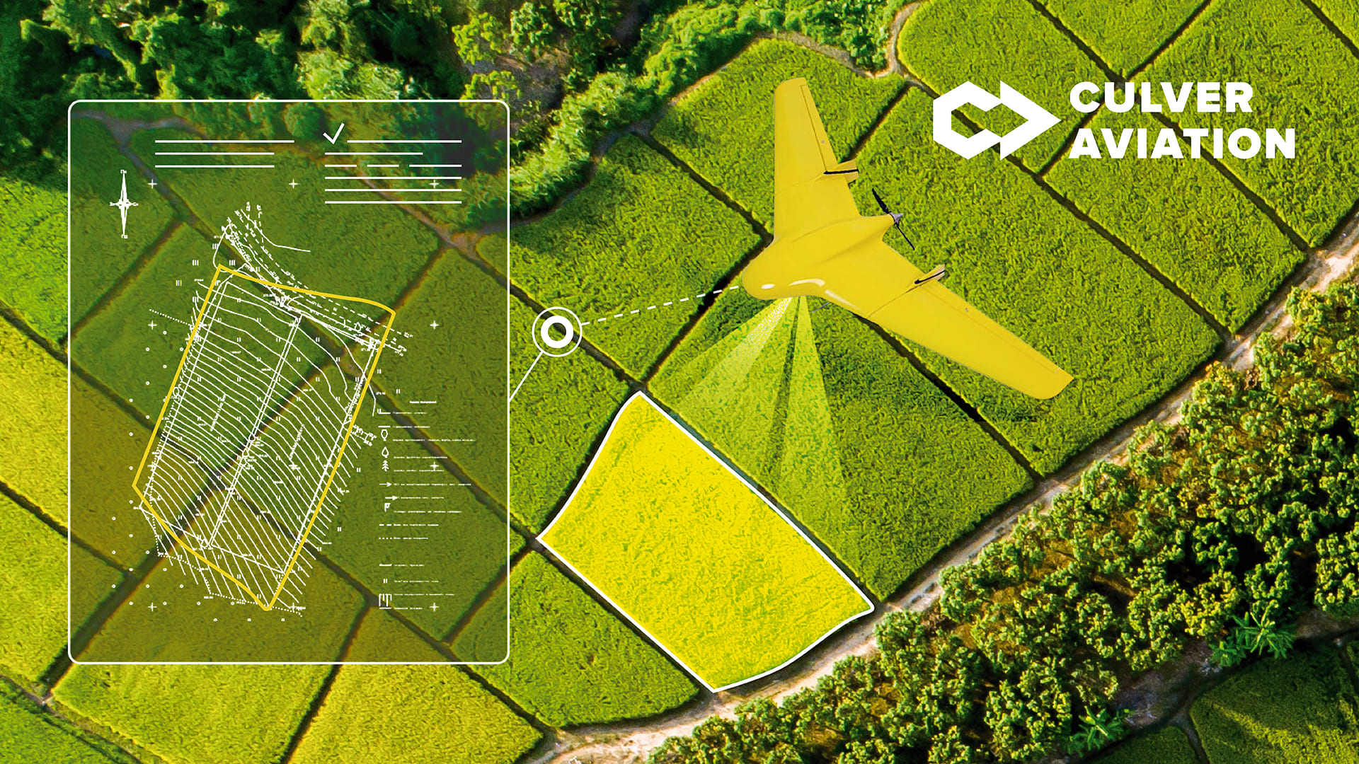
Field area measurement is a necessary procedure before starting any land works. It allows you to understand how much usable area you have, determine the exact contours and condition of the plots. Fields should be measured every year or two – depending on the size of the farm and frequency of shareholders change.
According to Culver Aviation's experience, the amount of farmland leased and the area actually used are not the same. On small fields of up to 100 hectares the difference is not so noticeable. But, for example, for large farms of 10,000 hectares it is quite significant. Inaccurate information about the land bank leads to incorrect work planning and resource allocation.
Why make an accurate measurement of the fields:
- obtain data on the exact area under cultivation;
- to identify the discrepancy between the leased area and the actually cultivated area;
- plan the budget for seed, crop protection products, machinery, and fuel;
- integrate data into precision farming systems (if available).
Why UAV
Drone measurement of fields is one of the most accurate tool. It helps not only to determine the contours to the centimeter, but also to understand the situation within the field. For example, if a mound or ravine is formed, or a forest belt is encroaching from the side, or a neighboring farm has invaded part of your plot, it is impossible to see it on outdated maps. Each such "surprise" reduces the real area for seeding and increases business losses.
How fields are measured by drones:
- We receive from the customer cartographic data (if available), cadastral numbers of target areas or schemes of arrays (fields);
- Culver Aviation specialists analyze the materials provided by the customer and prepare a flight task;
- The team travels to the site to conduct aerial photography;
- GIS specialists process survey data
- The client receives a high-accuracy orthophotomap, field contours, area, and other analytics required by the client.
Our team uses in-house developed SKIF series UAVs for aerial photography. They are equipped with high-resolution cameras and GNSS receivers which allow for centimeter-level accuracy.
How we work
Immediately before starting the work, the UAV is loaded with a developed flight task for a specified area.
In one flight SKIF manages to cover an area of 1000 hectares. A team of two pilots with two aircraft can cover about 5,000 hectares per day, depending on the location and distance between sites. If it is necessary to cover more, Culver Aviation engages several teams.
After shooting, a GIS specialist stitches the photos into a single digital map with coordinates, numbered plots, and contours. Optionally, the map is created based on relief.
The speed of measurement and cost of the service depend on the volume of the farm, logistics to sites and their scattering, availability of input data, peculiarities of the relief and urgency of the result. For example, in no-fly zones and near state borders it is necessary to coordinate the survey with border service or workers of sensitive facility, which can take several days.
Field area measurement by UAV is the most precise and fastest solution and will be optimal for farms from 3000-5000 hectares.
Why Culver Aviation
- turnkey service: own aircraft, pilots, data processors and GIS specialists;
- rapid flying over large areas of thousands and tens of thousands of hectares;
- images at the resolution of 1 cm per pixel;
- user-friendly digital map with exact coordinates and contours;
- optimal price.

