The subscription model is becoming an increasingly common way to purchase goods and services.
Its essence is that products and services are not sold to the customer, but are provided for use with payment for the duration of an active subscription. The effectiveness of this model is confirmed by the experience of many industries from online services and digital content to IT infrastructure and industrial equipment.
For example, Juniper Research analysts estimate that the global subscription market will grow to $275 billion in 2022, with physical products accounting for the most revenue - 45% worldwide.
The explanation is simple - the economic and political environment of recent years requires businesses to be flexible and adapt quickly to all changes and challenges, and the subscription model best meets these requirements.
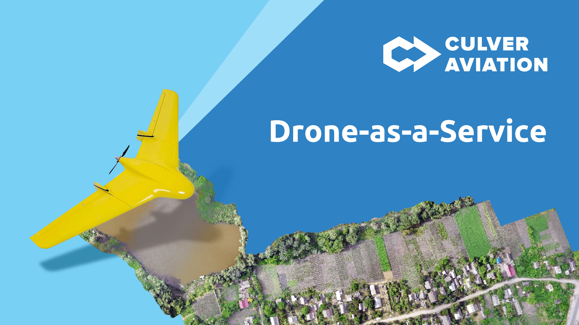
Culver Aviation is one of the few companies in Ukraine developing a full range of services based on aerial survey and monitoring of the Earth's surface using UAVs on a subscription basis.
The service is provided as DaaS - Drone-as-a-Service. This allows agrarians, environmentalists, road builders, foresters, rescuers and others not to buy non-core aircrafts, but simply sign a contract for aerial monitoring of a particular site and wait for ready data in a few days.
This format of work greatly increases the speed and quality of work. Let us tell you about other advantages of using Culver Aviation's Drone-as-a-Service model.
1. Turnkey service: own planes, pilots and data processors
Culver Aviation offers the full cycle of aerial land monitoring services in Ukraine - from data collection to its digitization and analysis.
Own UAV fleet, experienced pilots and GIS-experts allow us to collect data quickly, process them and provide our customers with high quality results in full compliance with technical requirements.
2. Largest UAV fleet and full range of services
Culver Aviation has the largest UAV fleet of its own production in Ukraine. This allows us to conduct large-scale surveys on any area in a short time.
For example, one UAV can fly over 3000-3500 hectares or 130 km in one shift. Our own fleet of UAVs allows us to monitor areas from several thousand hectares, which is impossible for companies with smaller fleets.
Full service cycle guarantees performance of works in time: if one UAV is sent for maintenance, you will immediately get another one to replace it.
3. Individualized service for every project.
Since we produce our UAVs ourselves, they can be outfitted with additional functionality according to customer needs.
The serial model of SKIF is a balanced vehicle for different tasks, but if necessary, our engineers can implement other special modifications to give the customer the UAV that best meets their requirements.
4. High precision imagery at a resolution of up to 1 cm per pixel
Thanks to the dual-frequency navigation system and advanced high-resolution cameras, SKIF can achieve accuracy to the scale of 1 cm of the ground per 1 pixel in digital maps.
The UAV images allow to distinguish even small objects and to create high accuracy maps for different industries.
5. Advantageous conditions of cooperation
With Drone-as-a-Service you don't need to spend money on equipment purchase and maintenance, as well as team training and results processing. Cooperating with Culver Aviation for reasonable price you get the equipment, professional team, which performs the flight mission by itself, processes the data and gives the ready result in a short time.
Now to get air monitoring services, you need to sign a contract - we do the rest.
Drone-as-a-Service — flexible conditions for business
Ukrainian business in 2022 faces the challenges forcing it to be flexible and rationally use its resources. The Drone-as-a-Service model meets the requirements of the present and makes air monitoring accessible to customers from various fields and industries: to monitor changes in the fields, assess the effects of natural disasters, the state of forests, roads, high-rise buildings, etc.