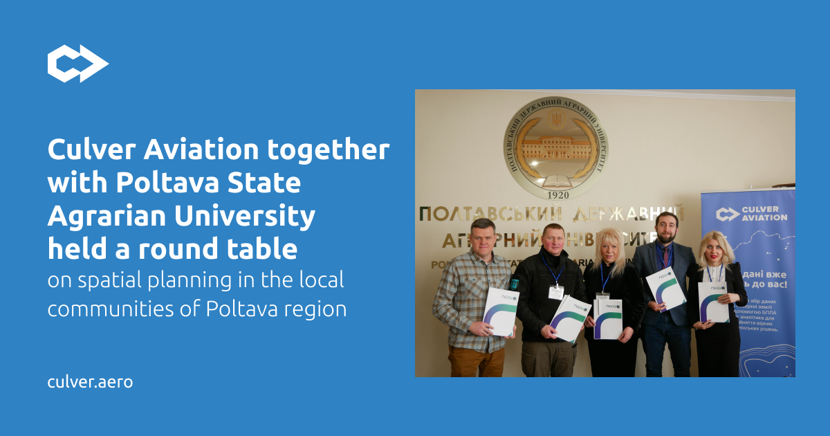
On March 15, Culver Aviation in cooperation with Poltava State Agrarian University (PSAU), held a roundtable discussion "Spatial Planning as a Tool for Implementing a Sustainable Development Strategy in the Communities of Poltava Region".
The event was held under the patronage of the Poltava Regional State Administration and became the second in a series of roundtables dedicated to the effective management of land resources using modern information technologies.
Spatial planning is one of the main tools for ensuring the sustainable development of territories. Comprehensive spatial development plans allow communities to introduce transparent approaches to land management and urban planning and ensure the efficient use and protection of their land. The stages, algorithms, and tools for preparing comprehensive spatial development plans for territorial communities as well as the role of aerial monitoring and geospatial data in this process, were discussed at the event.
Aerial monitoring is one of the most efficient and productive methods of auditing and evaluating a land bank. The products and services Culver Aviation provides based on data collected by UAVs of its design and production allow communities to determine the actual amount of cultivated land and available resources and monitor their intended use.
Denys Sudyka, Head of Sales at Culver Aviation, in his presentation, explained how orthophotomaps, digital maps, and elevation models created on their basis help communities obtain up-to-date and comprehensive information about the area and objects on it. In addition to meeting the needs of land management, cadastre, urban planning, development of reconstruction plans, construction of infrastructure facilities, etc., they serve as the basis for the development of investment plans for territorial communities, which will become the main tool for attracting financing and post-war reconstruction of Ukraine.
