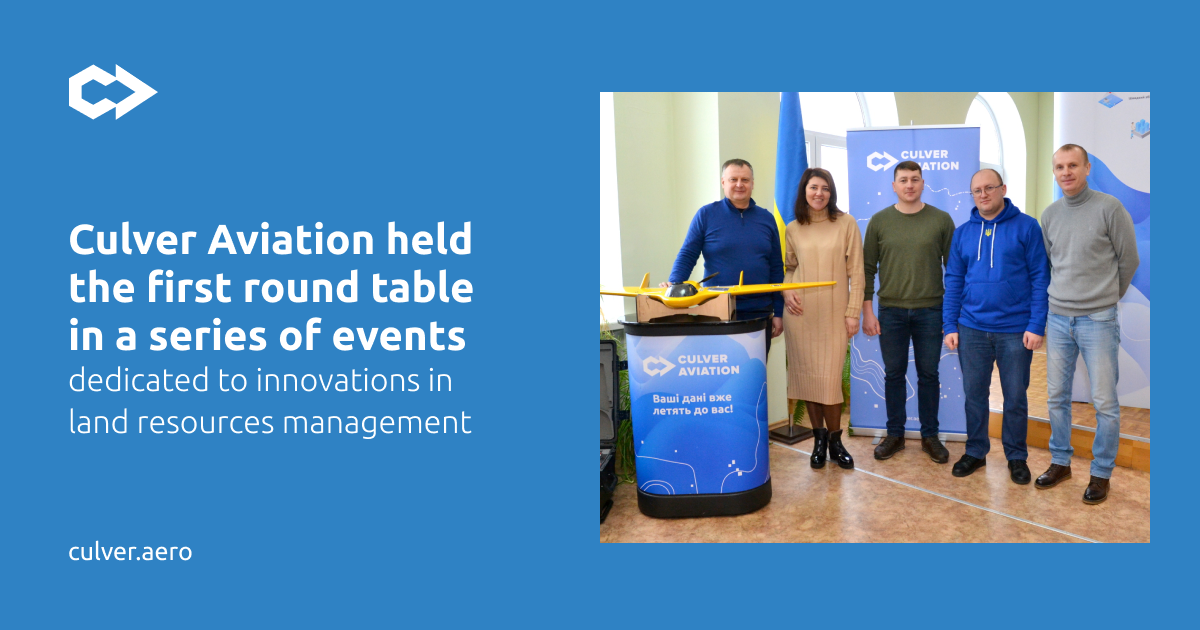
On February 3, Culver Aviation held a roundtable discussion in Uman on "Innovations in the agricultural sector and community development: communication and common challenges". Participants discussed land management as a common challenge for farms, local communities, and higher education institutions, as well as the role of aerial monitoring in addressing them. This event was the first in a planned series of roundtables dedicated to effective land management with the help of innovative resources.
Among others, the event was attended by USAID, the All-Ukrainian Agrarian Council, the administration of Uman and Uman district, Mankivska and Palanska territorial communities, and the Uman National University of Gardening.
Reliable data on the land bank is the key to rational land use and the basis for sustainable development of the territory. According to Culver Aviation's experience, the discrepancy between actual land bank data and cadastral data is on average 5 to 30%, which leads to unnecessary costs and incorrect budget planning.
As a result of the decentralization reform, large tracts of agricultural land have been transferred to local governments. The increase in the number of registered lands opens up new opportunities for the development of territorial communities, as it allows them to generate tax revenues and thus increase budget revenues. However, it also requires the introduction of innovative solutions to create effective mechanisms for digitizing and visualizing land and conducting a useful dialogue with farmers. In turn, a prerequisite for this is the use of the latest technologies for managing the land bank and the availability of qualified personnel, which puts forward new requirements for training specialists in higher education institutions of Ukraine.
Aerial photography using UAVs is one of the most efficient and productive methods of auditing and assessing the occupancy of the land bank. The obtained spatial data about the area can serve as the basis for creating comprehensive plans for the spatial development of territorial communities - documents that combine land management and urban planning documentation. The role of aerial monitoring and geospatial data was discussed at a roundtable organized by Culver Aviation.
The discussion began with an introduction by Denys Sudyka, Head of Sales at Culver Aviation, who identified the main challenges of land management. Sales Manager Yurii Toporovskyi used examples from the company's experience to describe the losses of farms due to inaccurate data on the land bank. USAID consultant Kateryna Reznikova focused on the stages of development and the main components of a comprehensive plan, and Andriy Levchuk, Head of Geographic Information Systems at Culver Aviation, told the participants about the geographic information portal as the main tool for effective planning of territorial development, land management, and municipal property.
