A serious challenge to humanitarian demining is the invisible spectrum. Mines and unexploded ordnance located underground or in dense vegetation cannot be identified from the air using a digital camera mounted on a UAV alone. In such cases, it is necessary to install additional equipment, namely computer vision sensors, which include multispectral and thermal imaging cameras, lidars, ground penetrating radar and magnetometers.
Thermal cameras use special sensors to determine the temperature difference between an object and the background. Since metal releases heat faster than the ground, thermal imagers can measure the temperature of the ground during the day and night and see metal objects that have heated up during the day.
Multispectral cameras consist of 6 cameras, one of which operates in the visible spectrum, all the others in the extended spectrum. The images obtained with its help are divided into areas painted in different colors and show the difference in soil density, vegetation cover, surface temperature, etc. Thanks to the ultra-precise positioning system, the location of areas contaminated with mines and ERW can be determined with high accuracy.
LiDAR is a remote sensing technology using laser pulses. LiDAR sensors make a laser projection of the earth and form a cloud of surface points based on it, detecting unnatural objects and determining the distance to them. The use of LiDAR sensors mounted on UAVs is especially appropriate for de-mining, which is currently required on at least 171,000 hectares, excluding the still-occupied territories.
Georadars use electromagnetic waves to detect heterogeneity in the soil and recognize underground objects and their distance. The georadar method of exploring territories allows for the search and identification of subsurface objects with both metal and non-metal bodies (e.g., "butterfly mines").
Magnetometers are devices that record changes in the Earth's magnetic field caused by the presence of mines and other foreign objects. Installed on a UAV, this device measures the magnetic field and reacts to metal objects around which a magnetic field is formed that differs from the general one. Magnetometers have high sensitivity and can detect metal objects weighing 200 g or more both on the ground and at a depth of up to 2 meters.
Today, magnetometers are one of the most interesting and promising technologies. Installed on drones, they allow you to quickly fly over the territory and get a print of all metal objects both on the surface and in the upper layer of the earth.
The vast majority of mines are currently metal, so the use of magnetometers is appropriate both for work in the already de-occupied territories and as part of the ongoing counteroffensive. First of all, this applies to anti-tank mines, which can be identified and cleared or bypassed in this way.
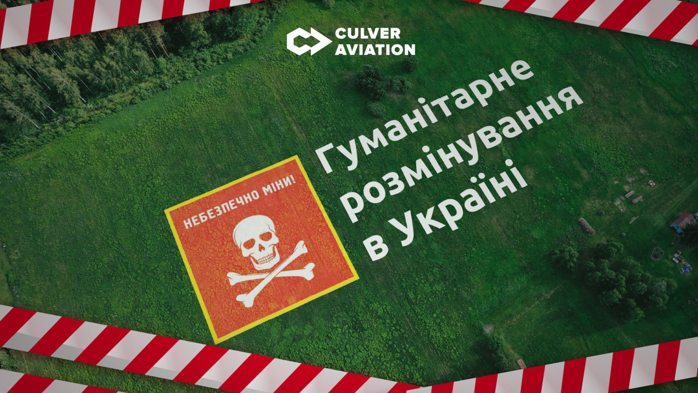
The problem of demining in Ukraine
Experts note that up to 50% of deminers' time is spent on detecting mines and unexploded ordnance during demining. In Ukraine, demining is currently carried out by the Armed Forces, the State Emergency Service, transport services, and non-governmental mine action operators. In total, about a thousand deminers are involved in the work. However, this is not enough to ensure the normal functioning of the economy and the liberation of the first priority areas. Deputy Head of the Secretariat of the National Mine Action Authority of the Ministry of Defense of Ukraine Yevhen Zubarevsky notes that Ukraine needs at least 5,000 deminers, as well as innovative mechanized demining equipment and robotic systems for humanitarian demining of the liberated territories.
The use of classical methods slows down humanitarian demining and endangers the military and civilians. The technology of identifying mines and explosive devices using unmanned aerial vehicles can significantly reduce the time spent on surveying territories and save the lives of both the units involved in demining and the civilian population.
A comprehensive approach to non-technical surveys using UAVs consists of 3 stages:
1. Creation of a map of craters and trenches based on UAV imagery.
Flying over and obtaining information about the destruction to create a map of craters and trenches to determine the priority of demining areas depending on their contamination with explosives.
2. Visual inspection of mines
Survey of the territory by UAV with a high-precision camera or multispectral sensor for visual inspection of mines. The creation of a database of visual images of mines and explosive objects will allow the further use of digital technologies to detect similar objects and reduce the time for processing data obtained from the air.
3. Flying over the territory with a UAV with a computer vision sensor
Search and identification of subsurface objects based on the capabilities and characteristics of the installed sensor.
The problem with using computer vision sensors is that no single solution has been found to date that can detect all types of explosive objects. Despite the fact that their installation on UAVs significantly speeds up the demining process, to completely clear the area, the flight must be repeated using a different type of sensor. The development of a universal unmanned platform capable of interacting with different types of sensors and collecting data on different types of mines and explosive devices simultaneously will simplify this process. Engineers from Culver Aviation's R&D department are also working on the development of such a platform and researching the interaction of different types of sensors.
AI and humanitarian demining
Integration of Industry 4.0 technologies into non-technical survey processes using unmanned aerial vehicles is essential to speed up humanitarian demining.
The visual images of shells, charges and mines collected by UAVs can be uploaded to a neural network, allowing it to learn and subsequently recognize explosive remnants of war on the received images of the earth's surface.
Connecting various types of computer vision sensors installed on drones to the neural network in real time will allow combining the data obtained and automatically applying the vector result to the map of the minefield, which will provide a complete picture for further work of sappers and special services involved in demining.
The use of artificial intelligence capabilities in combination with unmanned technologies will greatly simplify the initial and non-technical survey stages and make humanitarian demining more efficient and safe, save lives of military and civilians, and return Ukrainian cities and villages to normal life as soon as possible.